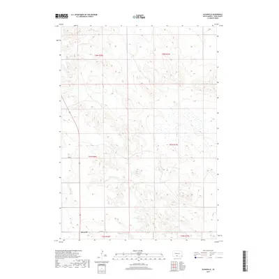
2017 Map of Olsonville
USGS Topo · Published 2017About this map
Olsonville sits at the southwestern edge of this landscape in Todd County, a small settlement defined by its position along local routes like 295th St. The terrain is characterized by the drainage of Lone Tree Cr, which meanders through the central and southern sections of the quadrangle. The surrounding area is largely organized by the Public Land Survey System, with township boundaries such as t37n r28w and t38n r27w marking the geographic grid. This 2017 survey reflects the sparse, rural character of the Antelope Segment, where few named features appear beyond the primary watercourse and the sectional road network that includes 292nd St.
Find a feature on this map
10 named features on this map. Tap any name to fly to it.
Don’t see what you’re looking for? This feature index may not catch every label — zoom into the map to look around manually.
Map Details
Editions of this 2017 Olsonville Map
This is the sole edition of this map. No revisions or reprints were ever made.
Other maps of this area
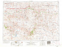
1955 · Martin
USGS Topo · 1:250,000
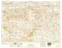
1958 · Martin
USGS Topo · 1:250,000
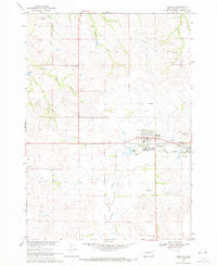
1969 · Mission
USGS Topo · 1:24,000
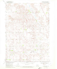
1969 · Olsonville NW
USGS Topo · 1:24,000
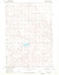
1969 · Olsonville SW
USGS Topo · 1:24,000
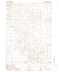
1982 · Olsonville
USGS Topo · 1:24,000
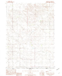
1982 · Olsonville SE
USGS Topo · 1:24,000
1982 · Hidden Timber
USGS Topo · 1:24,000
1982 · Okreek
USGS Topo · 1:25,000
1982 · Mission SE
USGS Topo · 1:24,000