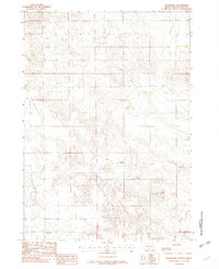
1982 Map of Olsonville
USGS Topo · Published 1982About this map
The Rosebud Indian Reservation encompasses this portion of Todd County, where the small settlement of Olsonville sits near the southern boundary. This 1982 map reveals a landscape defined by the drainage patterns of Lone Tree Creek and Rock Creek, which cut through the high plains of South Dakota. The presence of the Olsonville Roadside Park suggests the importance of early regional travel routes through this section of the reservation.
Find a feature on this map
9 named features on this map. Tap any name to fly to it.
Don’t see what you’re looking for? This feature index may not catch every label — zoom into the map to look around manually.
Map Details
Editions of this 1982 Olsonville Map
This is the sole edition of this map. No revisions or reprints were ever made.
Other maps of this area
1955 · Martin
USGS Topo · 1:250,000
1958 · Martin
USGS Topo · 1:250,000
1969 · Mission
USGS Topo · 1:24,000
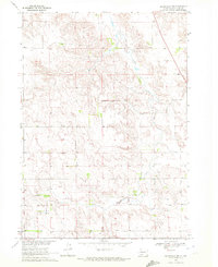
1969 · Olsonville NW
USGS Topo · 1:24,000
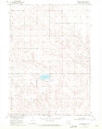
1969 · Olsonville SW
USGS Topo · 1:24,000
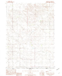
1982 · Olsonville SE
USGS Topo · 1:24,000
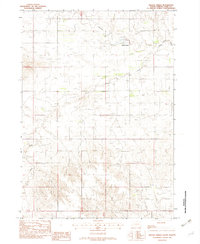
1982 · Hidden Timber
USGS Topo · 1:24,000
1982 · Okreek
USGS Topo · 1:25,000
1982 · Mission SE
USGS Topo · 1:24,000
1982 · Littleburg
USGS Topo · 1:24,000