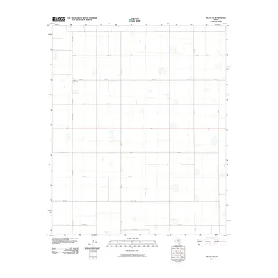
2010 Map of Olton NE
USGS Topo · Published 2010About this map
The Olton Cemetery serves as a central anchor for this part of Hale County, situated at the intersection of Cemetery Rd N and Co Rd 94. This survey reveals the systematic agricultural layout of the Texas Panhandle, defined by a rigid grid of county roads that carve the landscape into uniform sections. Significant corridors like Co Rd 321 and Co Rd 331 run north-to-south, facilitating movement between the widely dispersed homesteads and farms that characterize this rural expanse. The map illustrates the dominance of the section line road system, where names like Elm Rd and Co Rd 152 mark the boundaries of a region built on large-scale ranching and farming. Dozens of small depressions and seasonal water features dot the terrain, reflecting the localized drainage patterns typical of this High Plains geography.
Find a feature on this map
27 named features on this map. Tap any name to fly to it.
Don’t see what you’re looking for? This feature index may not catch every label — zoom into the map to look around manually.
Map Details
Editions of this 2010 Olton NE Map
This is the sole edition of this map. No revisions or reprints were ever made.
Other maps of this area

1954 · Plainview
USGS Topo · 1:250,000

1954 · Clovis
USGS Topo · 1:250,000

1958 · Clovis
USGS Topo · 1:250,000

1958 · Plainview
USGS Topo · 1:250,000

1962 · Fieldton
USGS Topo · 1:24,000

1963 · Olton
USGS Topo · 1:24,000

1963 · Hart SW
USGS Topo · 1:24,000

1965 · Edmonson
USGS Topo · 1:24,000

1965 · Hilburn
USGS Topo · 1:24,000

1968 · Halfway
USGS Topo · 1:24,000