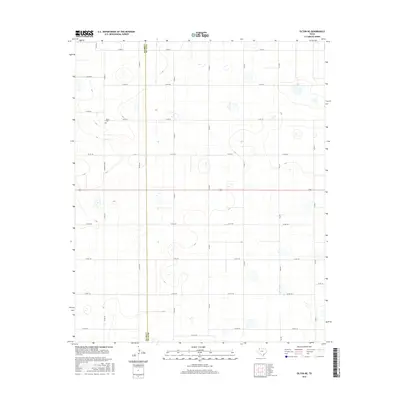
2016 Map of Olton NE
USGS Topo · Published 2016About this map
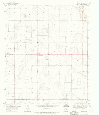
Lamb Co and Hale Co share a boundary across this section of the High Plains, characterized by a vast network of section-line roads and numerous small, seasonally wet depressions. The local infrastructure is dominated by the grid of county roads, including north-south routes like Co Rd 321 and Co Rd 331, intersected by east-west corridors such as Co Rd 92 and Co Rd 100. This survey provides a clear look at the rural organization of the region in the mid-2010s, where the straight lines of modern transport meet the natural undulations of the Llano Estacado. The Olton Cem, located near Cemetery Rd N, serves as a primary historical landmark for those researching family ties in the area. The presence of FM 2284 and various named roads like Elm Rd suggests a landscape dedicated to agriculture and ranching, with the terrain marked by subtle elevation changes and local basins.
Find a feature on this map
32 named features on this map. Tap any name to fly to it.
Don’t see what you’re looking for? This feature index may not catch every label — zoom into the map to look around manually.
Map Details
Editions of this 2016 Olton NE Map
This is the sole edition of this map. No revisions or reprints were ever made.
Other maps of this area
1954 · Plainview
USGS Topo · 1:250,000

1954 · Clovis
USGS Topo · 1:250,000

1958 · Clovis
USGS Topo · 1:250,000
1958 · Plainview
USGS Topo · 1:250,000
1962 · Fieldton
USGS Topo · 1:24,000
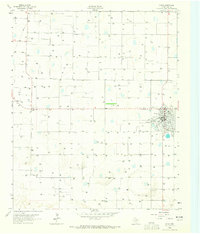
1963 · Olton
USGS Topo · 1:24,000
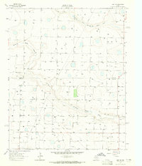
1963 · Hart SW
USGS Topo · 1:24,000
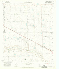
1965 · Edmonson
USGS Topo · 1:24,000
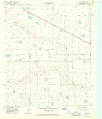
1965 · Hilburn
USGS Topo · 1:24,000
1968 · Halfway
USGS Topo · 1:24,000