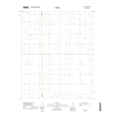
2019 Map of Olton NE
USGS Topo · Published 2019About this map
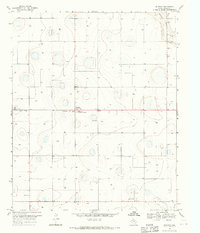
Agricultural lands along the Lamb Co Hale Co line define this portion of the Texas Panhandle, where the landscape is organized by a precise grid of rural roads. The area is characterized by scattered playa lakes and depressions, traditional features of the High Plains terrain. A significant focal point for local history and genealogy is the Olton Cem, situated along Cemetery Rd N in the western half of the map. Transportation through this rural corridor relies on a network of county roads like Co Rd 331 and Co Rd 8, alongside more established routes such as Fm 2284. This 2019 survey documents the enduring spatial layout of the region's farms and homesteads, illustrating how the section lines and irrigation-dependent land use continue to shape the border between Lamb and Hale counties.
Find a feature on this map
32 named features on this map. Tap any name to fly to it.
Don’t see what you’re looking for? This feature index may not catch every label — zoom into the map to look around manually.
Map Details
Editions of this 2019 Olton NE Map
This is the sole edition of this map. No revisions or reprints were ever made.
Other maps of this area
1954 · Plainview
USGS Topo · 1:250,000

1954 · Clovis
USGS Topo · 1:250,000

1958 · Clovis
USGS Topo · 1:250,000
1958 · Plainview
USGS Topo · 1:250,000
1962 · Fieldton
USGS Topo · 1:24,000
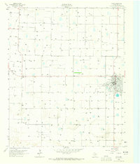
1963 · Olton
USGS Topo · 1:24,000
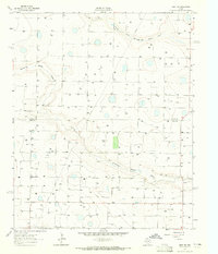
1963 · Hart SW
USGS Topo · 1:24,000
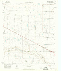
1965 · Edmonson
USGS Topo · 1:24,000
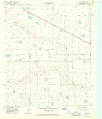
1965 · Hilburn
USGS Topo · 1:24,000
1968 · Halfway
USGS Topo · 1:24,000