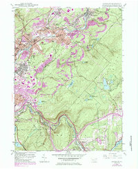
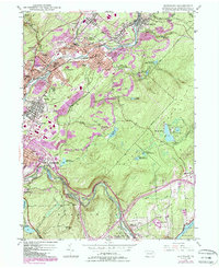
1946 Map of Olyphant
USGS Topo · Published 1984About this map
The Lackawanna River corridor defines this industrial and residential landscape, serving as the spine for a dense network of boroughs including Olyphant, Blakely, and Dickson City. The map reveals a post-war environment where coal legacy meets mid-century development, evidenced by the extensive strip mines that scar the hillsides above Jessup and Peckville. Numerous ethnic and religious landmarks, such as the St Nicholas Orphanage, St Marys Villa, and several cemeteries like Holy Ghost Cem, reflect the diverse immigrant workforce that settled in these valley towns to work the anthracite seams.
Find a feature on this map
77 named features on this map. Tap any name to fly to it.
Don’t see what you’re looking for? This feature index may not catch every label — zoom into the map to look around manually.
Map Details
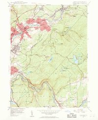
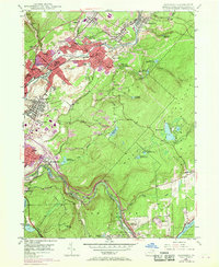
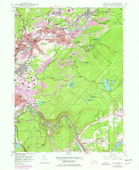
Editions of this 1946 Olyphant Map
6 editions found

Other maps of this area

1889 · Scranton
USGS Topo · 1:62,500

1891 · Scranton
USGS Topo · 1:62,500

1892 · Honesdale
USGS Topo · 1:62,500

1892 · Dundaff
USGS Topo · 1:62,500

1893 · Scranton
USGS Topo · 1:62,500

1928 · Ariel
USGS Topo · 1:62,500

1932 · Ariel
USGS Topo · 1:62,500

1943 · Scranton
USGS Topo · 1:125,000

1943 · Honesdale
USGS Topo · 1:125,000

1946 · Dalton
USGS Topo · 1:24,000