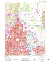
1956 Map of Omaha North
USGS Topo · Published 1984About this map
Fort Omaha stands as a central historical anchor in this mid-century survey of the Omaha metropolitan area, illustrating the city's northward expansion toward the community of Florence. The landscape is defined by the winding course of the Missouri River and the complex boundary between Nebraska and Iowa, most notably around the oxbow-formed Carter Lake. Significant educational and religious foundations are scattered throughout the residential blocks, from Creighton University and Brownell Hall to a dense network of neighborhood institutions like North High Sch and Holy Angels Sch. Transportation infrastructure of the era is prominent, featuring the Mormon Bridge, the early footprint of Eppley Airfield, and the rail corridors of the Union Pacific and Illinois Central Gulf. Large green spaces such as Forest Lawn Cemetery and Hummel Park break the urban grid, preserving the rolling terrain of the river bluffs.
Find a feature on this map
142 named features on this map. Tap any name to fly to it.
Don’t see what you’re looking for? This feature index may not catch every label — zoom into the map to look around manually.
Map Details
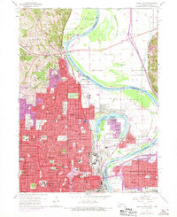
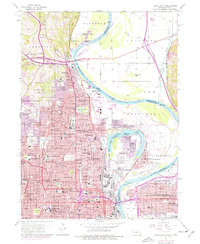
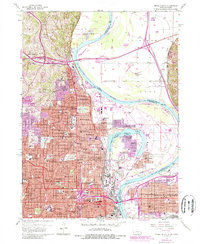
Editions of this 1956 Omaha North Map
5 editions found
Other maps of this area

1893 · Omaha
USGS Topo · 1:62,500

1893 · Fremont
USGS Topo · 1:125,000

1896 · Fremont
USGS Topo · 1:125,000

1954 · Omaha
USGS Topo · 1:250,000

1955 · Fremont
USGS Topo · 1:250,000

1956 · Ralston
USGS Topo · 1:24,000

1956 · Irvington
USGS Topo · 1:24,000

1956 · Council Bluffs North
USGS Topo · 1:24,000

1956 · Omaha North
USGS Topo · 1:24,000

1956 · Council Bluffs South
USGS Topo · 1:24,000