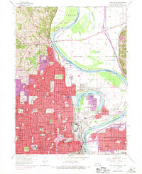
1956 Map of Omaha North
USGS Topo · Published 1970About this map
Omaha and its northern suburbs are captured during a period of significant mid-century expansion along the Missouri River. The 1956 survey base, later updated with 1969 aerial data, reveals a dense network of educational and religious institutions, ranging from Creighton University and Duchesne College to neighborhood anchors like Holy Angels Sch and Technical High Sch. The geography is defined by the sharp oxbow of Carter Lake, which creates a unique enclave for the community of Carter Lake on the Nebraska side of the river despite its Iowa jurisdiction.
Find a feature on this map
67 named features on this map. Tap any name to fly to it.
Don’t see what you’re looking for? This feature index may not catch every label — zoom into the map to look around manually.
Map Details
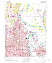
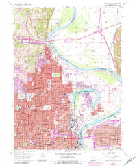
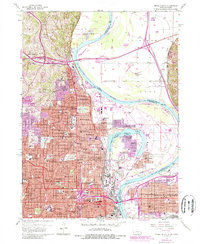
Editions of this 1956 Omaha North Map
5 editions found
Other maps of this area

1893 · Omaha
USGS Topo · 1:62,500

1893 · Fremont
USGS Topo · 1:125,000

1896 · Fremont
USGS Topo · 1:125,000

1954 · Omaha
USGS Topo · 1:250,000

1955 · Fremont
USGS Topo · 1:250,000

1956 · Ralston
USGS Topo · 1:24,000

1956 · Irvington
USGS Topo · 1:24,000

1956 · Council Bluffs North
USGS Topo · 1:24,000

1956 · Omaha North
USGS Topo · 1:24,000

1956 · Council Bluffs South
USGS Topo · 1:24,000