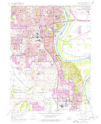
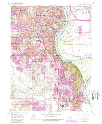
1956 Map of Omaha South
USGS Topo · Published 1977About this map
Omaha and South Omaha's dense urban grids dominate the northern half of this mid-century survey, revealing a landscape defined by significant institutional and industrial infrastructure. The area is a hub of Catholic education and heritage, featuring numerous parish schools like St Stanislaus Sch and St Francis Sch, alongside several historic burial grounds including the Bohemian Cem and Beth Hamedrosh Hagodel Cem. To the south, the terrain opens into the valley of Papillion Creek, where the rail-centered economy is evident at Gilmore Junction and the small settlement of Avery. The presence of Offutt Air Force Base near Bellevue anchors the southern portion of the sheet, while the Missouri River carves a wide arc along the eastern edge, showing the intricate network of levees and industrial riverfront development that supported the region's growth.
Find a feature on this map
89 named features on this map. Tap any name to fly to it.
Don’t see what you’re looking for? This feature index may not catch every label — zoom into the map to look around manually.
Map Details
Editions of this 1956 Omaha South Map
6 editions found

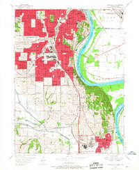
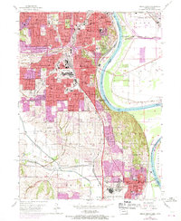
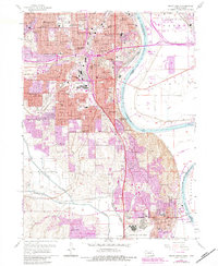
Other maps of this area

1893 · Omaha
USGS Topo · 1:62,500

1893 · Fremont
USGS Topo · 1:125,000

1896 · Fremont
USGS Topo · 1:125,000

1954 · Omaha
USGS Topo · 1:250,000

1955 · Fremont
USGS Topo · 1:250,000

1956 · Cedar Creek
USGS Topo · 1:24,000

1956 · Ralston
USGS Topo · 1:24,000

1956 · Irvington
USGS Topo · 1:24,000

1956 · Plattsmouth
USGS Topo · 1:24,000

1956 · Council Bluffs North
USGS Topo · 1:24,000