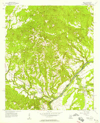
1957 Map of Omaha
USGS Topo · Published 1958About this map
The Chattahoochee River carves a winding path along the state boundary between Alabama and Georgia, defining the life and industry of this riverine corridor in the late 1950s. The Seaboard Air Line railroad tracks parallel the water, connecting small rail-side communities like Cottonton and McLendon. To the east, across the river, the settlement of Omaha marks the Georgia side, while the Alabama interior is characterized by a network of rural institutions, including New Mt Cannon Sch and Mt Lebanon Ch.
Find a feature on this map
31 named features on this map. Tap any name to fly to it.
Don’t see what you’re looking for? This feature index may not catch every label — zoom into the map to look around manually.
Map Details
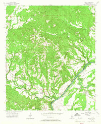
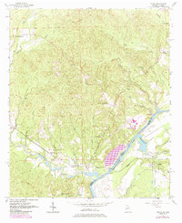
Editions of this 1957 Omaha Map
3 editions found
Other maps of this area

1908 · Columbus
USGS Topo · 1:62,500

1914 · Seale
USGS Topo · 1:62,500

1929 · Columbus
USGS Topo · 1:48,000

1947 · Columbus
USGS Topo · 1:62,500

1949 · Fort Mitchell
USGS Topo · 1:24,000

1949 · Julia
USGS Topo · 1:24,000

1950 · Fort Benning
USGS Topo · 1:24,000

1950 · Seale
USGS Topo · 1:24,000

1950 · Lumpkin SW
USGS Topo · 1:24,000

1950 · Seale
USGS Topo · 1:62,500