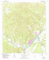
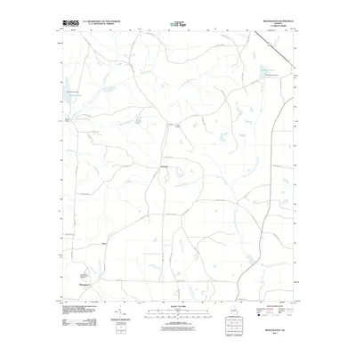
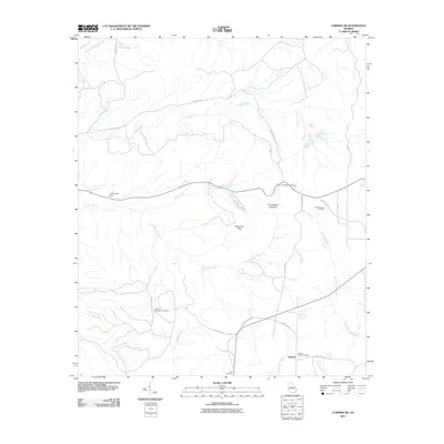
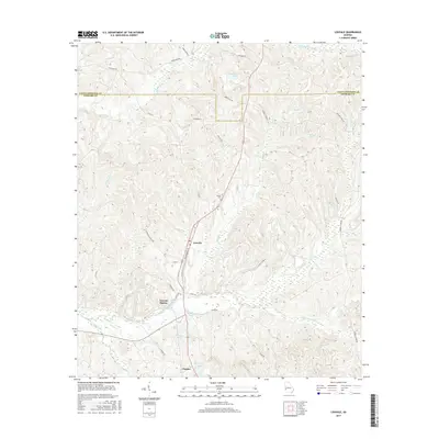
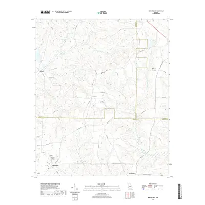
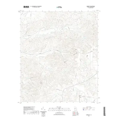
1957 Map of Omaha
USGS Topo · Published 1984About this map
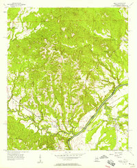
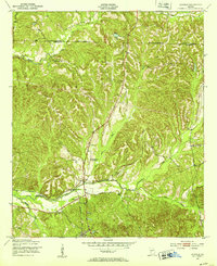
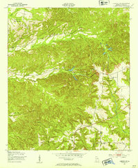
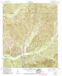
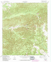
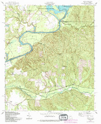
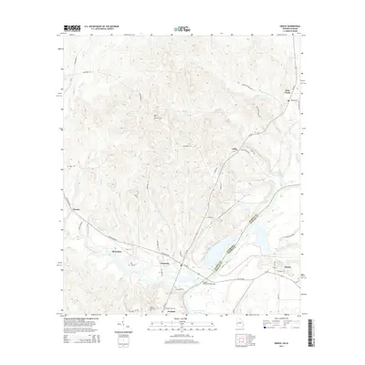
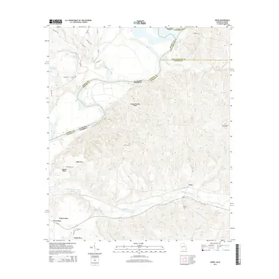
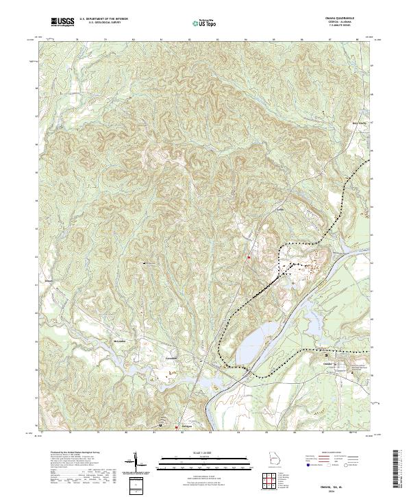
The Chattahoochee River forms the state line on this mid-century survey, dividing Stewart County, Georgia, from the Alabama bank. The settlement of Omaha sits east of the river, positioned near the mouth of Hannahatchee Creek. The landscape is defined by a dense network of watercourses, including Mill Creek, Buck Creek, and Bluff Creek, which drain the undulating terrain into the river valley.
Find a feature on this map
12 named features on this map. Tap any name to fly to it.
Don’t see what you’re looking for? This feature index may not catch every label — zoom into the map to look around manually.
Map Details
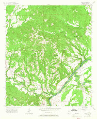
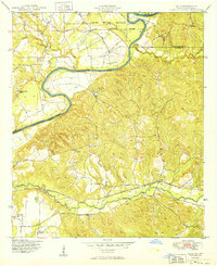
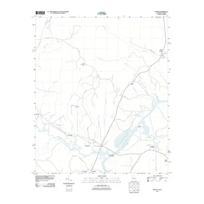
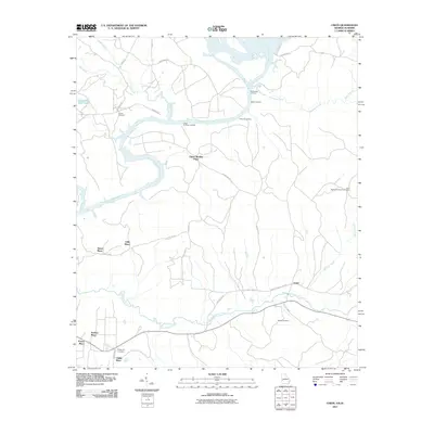
Editions of this 1957 Omaha Map
3 editions found
Historical Maps of Omaha Through Time
45 maps found
1949 Julia
Stewart County, GA
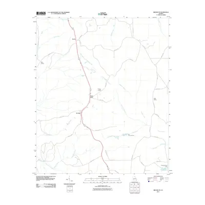
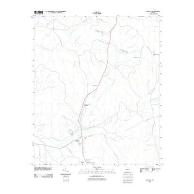
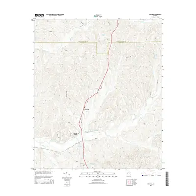
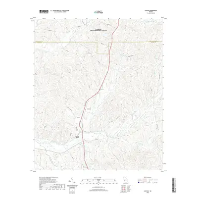
1950 Louvale
Stewart County, GA
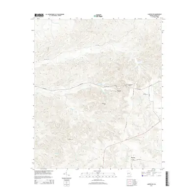
1950 Lumpkin SW
Stewart County, GA
1955 Louvale
Stewart County, GA
1955 Lumpkin SW
Stewart County, GA
1955 Union
Stewart County, GA
1957 Omaha
Stewart County, GA
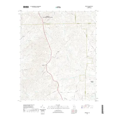
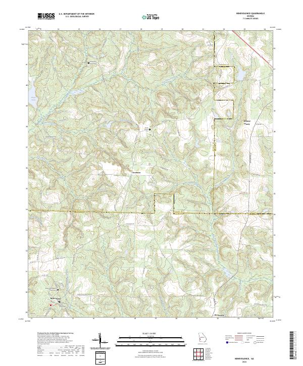
1972 Benevolence
Stewart County, GA
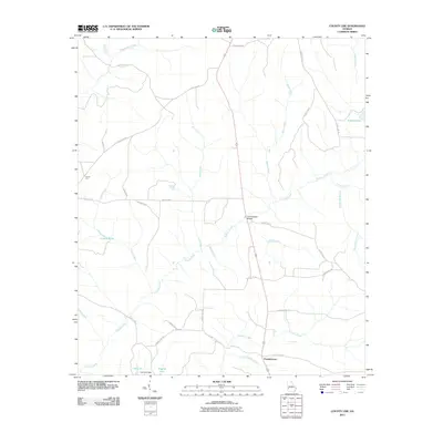
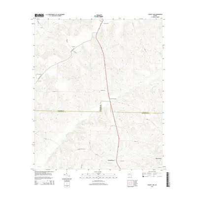
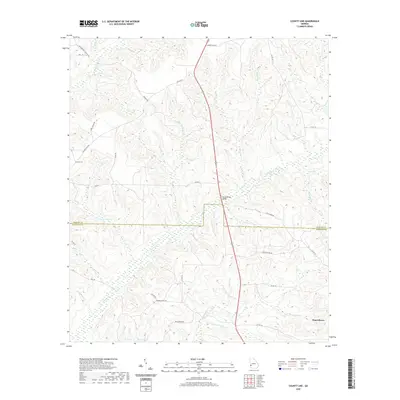
1972 County Line
Stewart County, GA
1973 Brooklyn
Stewart County, GA
2011 Benevolence
Stewart County, GA
2011 Brooklyn
Stewart County, GA
2011 County Line
Stewart County, GA
2011 Louvale
Stewart County, GA
2011 Lumpkin SW
Stewart County, GA
2011 Omaha
Stewart County, GA
2011 Union
Stewart County, GA

2014 Benevolence
Stewart County, GA
2014 Brooklyn
Stewart County, GA
2014 County Line
Stewart County, GA
2014 Louvale
Stewart County, GA
2014 Lumpkin SW
Stewart County, GA
2014 Omaha
Stewart County, GA
2014 Union
Stewart County, GA
2017 Benevolence
Stewart County, GA
2017 Brooklyn
Stewart County, GA
2017 County Line
Stewart County, GA
2017 Louvale
Stewart County, GA
2017 Lumpkin SW
Stewart County, GA
2017 Omaha
Stewart County, GA
2017 Union
Stewart County, GA
2020 Benevolence
Stewart County, GA
2020 Brooklyn
Stewart County, GA
2020 County Line
Stewart County, GA
2020 Louvale
Stewart County, GA
2020 Lumpkin SW
Stewart County, GA
2020 Omaha
Stewart County, GA
2020 Union
Stewart County, GA
2024 Benevolence
Stewart County, GA
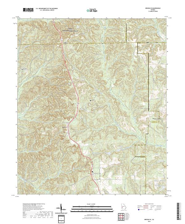
2024 Brooklyn
Stewart County, GA
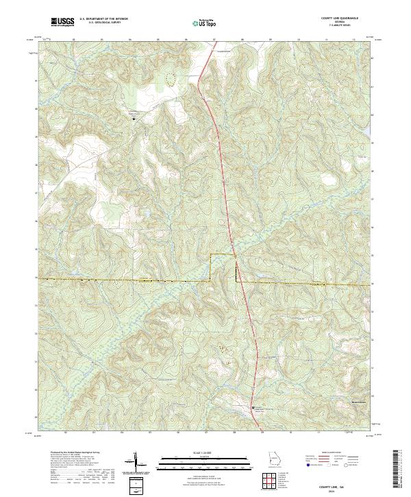
2024 County Line
Stewart County, GA
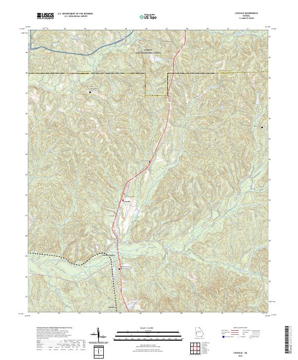
2024 Louvale
Stewart County, GA
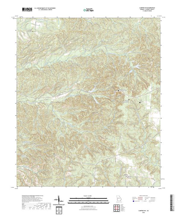
2024 Lumpkin SW
Stewart County, GA
2024 Omaha
Stewart County, GA
2024 Union
Stewart County, GA