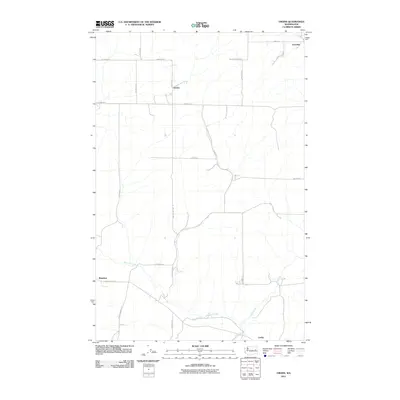
2011 Map of Omans
USGS Topo · Published 2011About this map
Bluestem and the surrounding agricultural landscape of Lincoln County define this survey of the eastern Washington plains. The map reveals a network of homestead roads and ranching operations, such as the Safety Pin Ranch, situated amongst the high plateau drainage basins. Water sources are vital to this semi-arid region, with Bluestem Creek and Crab Creek providing the primary hydrologic structure for local farming. Small settlements like Omans, Canby, and Gravelles appear as vital nodes in a dispersed rural community connected by long-established gravel and dirt routes. The grid-like road system, featuring names like Zellmer Rd E and Nicholls Rd N, reflects a century of land division and property ownership in this quiet corner of the Inland Empire.
Find a feature on this map
27 named features on this map. Tap any name to fly to it.
Don’t see what you’re looking for? This feature index may not catch every label — zoom into the map to look around manually.
Map Details
Editions of this 2011 Omans Map
This is the sole edition of this map. No revisions or reprints were ever made.
Other maps of this area

1945 · Reardan
USGS Topo · 1:62,500

1953 · Reardan
USGS Topo · 1:62,500

1953 · Ritzville
USGS Topo · 1:250,000

1954 · Sprague
USGS Topo · 1:62,500

1955 · Spokane
USGS Topo · 1:250,000

1958 · Spokane
USGS Topo · 1:250,000

1959 · Ritzville
USGS Topo · 1:250,000

1965 · Ritzville
USGS Topo · 1:250,000

1969 · Bluestem
USGS Topo · 1:24,000

1969 · Lords Valley
USGS Topo · 1:24,000