
2013 Map of Omans
USGS Topo · Published 2013About this map
Omans and Bluestem anchor this rural Lincoln County landscape, where the high wheat country of the Columbia Plateau is etched by seasonal watercourses. The drainage of Bluestem Cr and Crab Cr cuts through the township grids, defining the placement of local thoroughfares such as Bluestem Rd E and Stutheit Rd E. Near the northern boundary, the tiny settlement of Gravelles sits amidst a network of section-line roads, including Denny Station Rd and Zellmer Rd E, which trace the legacy of early land claims and railroad-era transport routes. This 2013 survey provides a clear view of the enduring agrarian structure of the region, where family-named landmarks like Omans Rd E and Hein Rd E continue to mark the map.
Find a feature on this map
23 named features on this map. Tap any name to fly to it.
Don’t see what you’re looking for? This feature index may not catch every label — zoom into the map to look around manually.
Map Details
Editions of this 2013 Omans Map
This is the sole edition of this map. No revisions or reprints were ever made.
Other maps of this area
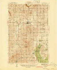
1945 · Reardan
USGS Topo · 1:62,500
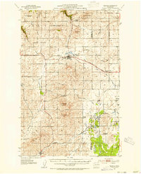
1953 · Reardan
USGS Topo · 1:62,500
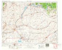
1953 · Ritzville
USGS Topo · 1:250,000
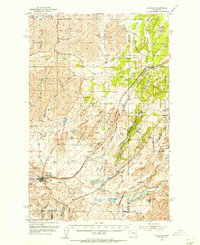
1954 · Sprague
USGS Topo · 1:62,500
1955 · Spokane
USGS Topo · 1:250,000
1958 · Spokane
USGS Topo · 1:250,000
1959 · Ritzville
USGS Topo · 1:250,000
1965 · Ritzville
USGS Topo · 1:250,000
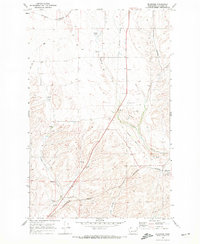
1969 · Bluestem
USGS Topo · 1:24,000
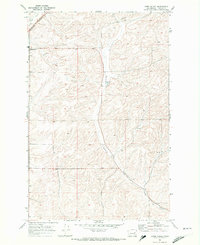
1969 · Lords Valley
USGS Topo · 1:24,000