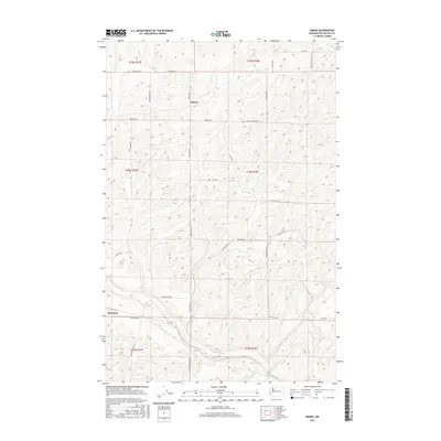
2017 Map of Omans
USGS Topo · Published 2017About this map
Omans and Bluestem sit within the high plateau country of Lincoln County, where the landscape is defined by the carved coulees and drainage patterns of Crab Cr and Bluestem Cr. This 2017 survey reveals a deeply patterned agricultural grid, where land ownership and transit routes follow the Public Land Survey System sections. The area is intersected by a complex network of named rural roads that often preserve local family legacies, such as Mecklenburg Rd N, Strickler Rd, and Van Skiver Rd. The placement of Denny Station Rd E suggests the historical influence of rail infrastructure on these small grain-country settlements. The terrain is notably etched by numerous small seasonal draws and basalt-rimmed depressions characteristic of the region's unique geography, providing a clear view of how geography dictates the placement of farmsteads and transport corridors like Telecky Rd E and Safety Pin Ranch Rd N.
Find a feature on this map
34 named features on this map. Tap any name to fly to it.
Don’t see what you’re looking for? This feature index may not catch every label — zoom into the map to look around manually.
Map Details
Editions of this 2017 Omans Map
This is the sole edition of this map. No revisions or reprints were ever made.
Other maps of this area
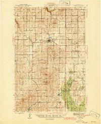
1945 · Reardan
USGS Topo · 1:62,500
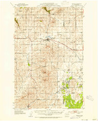
1953 · Reardan
USGS Topo · 1:62,500
1953 · Ritzville
USGS Topo · 1:250,000
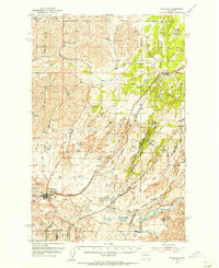
1954 · Sprague
USGS Topo · 1:62,500
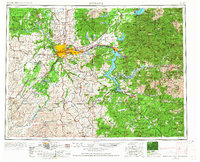
1955 · Spokane
USGS Topo · 1:250,000
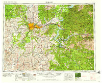
1958 · Spokane
USGS Topo · 1:250,000
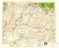
1959 · Ritzville
USGS Topo · 1:250,000
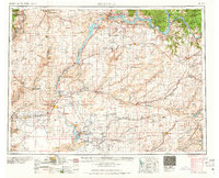
1965 · Ritzville
USGS Topo · 1:250,000
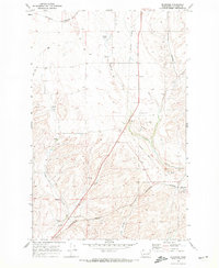
1969 · Bluestem
USGS Topo · 1:24,000
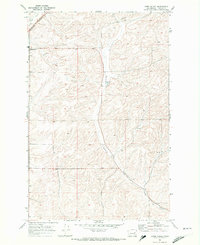
1969 · Lords Valley
USGS Topo · 1:24,000