
2020 Map of Omans
USGS Topo · Published 2020About this map
Bluestem and Omans anchor this section of the Inland Empire, where the high wheat country of Lincoln County is defined by a dense network of sectional roads and the carved drainage of Crab Cr. The landscape reflects a legacy of dryland farming and ranching, evidenced by family-named routes such as Safety Pin Ranch Rd N, Jannott Rd, and Van Skiver Rd. These roads trace the boundaries between townships T24N and T25N, connecting isolated farmsteads across the undulating terrain. While Bluestem Cr provides a focal point for the southern settlement, the northern portion is marked by the eponymous Omans area. The presence of Denny Station Rd E suggests the historical importance of local rail-adjacent sites for grain transport in this productive agricultural region of Eastern Washington.
Find a feature on this map
34 named features on this map. Tap any name to fly to it.
Don’t see what you’re looking for? This feature index may not catch every label — zoom into the map to look around manually.
Map Details
Editions of this 2020 Omans Map
This is the sole edition of this map. No revisions or reprints were ever made.
Other maps of this area
1945 · Reardan
USGS Topo · 1:62,500
1953 · Reardan
USGS Topo · 1:62,500
1953 · Ritzville
USGS Topo · 1:250,000
1954 · Sprague
USGS Topo · 1:62,500
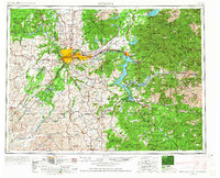
1955 · Spokane
USGS Topo · 1:250,000
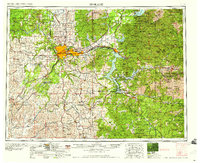
1958 · Spokane
USGS Topo · 1:250,000
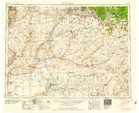
1959 · Ritzville
USGS Topo · 1:250,000
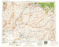
1965 · Ritzville
USGS Topo · 1:250,000
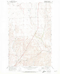
1969 · Bluestem
USGS Topo · 1:24,000
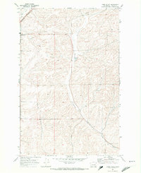
1969 · Lords Valley
USGS Topo · 1:24,000