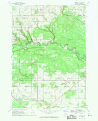
1968 Map of Omer SW
USGS Topo · Published 1971About this map
The Tittabawassee River State Forest dominates the central landscape of this late 1960s survey, where the winding Rifle River cuts through the Tyler Plains and Omer Plains. This region of Arenac County is defined by its transition from wooded state lands to a structured grid of rural roads and family-named landmarks. The map documents the local social geography through several rural spiritual and educational centers, including Melita Ch and the Standish & Sterling High Sch near the southern boundary.
Find a feature on this map
34 named features on this map. Tap any name to fly to it.
Don’t see what you’re looking for? This feature index may not catch every label — zoom into the map to look around manually.
Map Details
Editions of this 1968 Omer SW Map
2 editions found
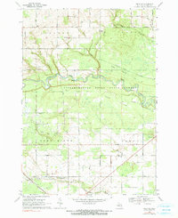
Other maps of this area

1954 · Traverse City
USGS Topo · 1:250,000

1954 · Midland
USGS Topo · 1:250,000

1954 · Flint
USGS Topo · 1:250,000

1954 · Tawas City
USGS Topo · 1:250,000

1958 · Traverse City
USGS Topo · 1:250,000

1958 · Flint
USGS Topo · 1:250,000

1958 · Tawas City
USGS Topo · 1:250,000

1958 · Midland
USGS Topo · 1:250,000

1959 · Midland
USGS Topo · 1:250,000

1966 · Midland
USGS Topo · 1:250,000