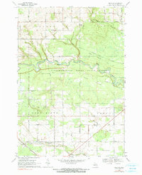
1968 Map of Omer SW
USGS Topo · Published 1991About this map
The Rifle River winds through the heart of this Michigan landscape, cutting through the Omer Plains and the Tittabawassee River State Forest. The area showcases a transition from agricultural land in the north to industrial and educational hubs in the south, notably the Deep River Gas and Oil Field and the Standish & Sterling High Sch. Small community centers are anchored by landmarks like Knights Mill and the Melita Ch, while the Penn Central railroad corridor provides a clear transit axis across the southwestern portion of the sheet.
Find a feature on this map
35 named features on this map. Tap any name to fly to it.
Don’t see what you’re looking for? This feature index may not catch every label — zoom into the map to look around manually.
Map Details
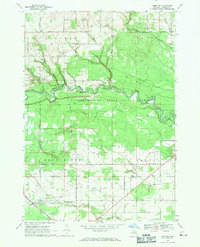
Editions of this 1968 Omer SW Map
2 editions found
Other maps of this area

1954 · Traverse City
USGS Topo · 1:250,000

1954 · Midland
USGS Topo · 1:250,000

1954 · Flint
USGS Topo · 1:250,000

1954 · Tawas City
USGS Topo · 1:250,000

1958 · Traverse City
USGS Topo · 1:250,000

1958 · Flint
USGS Topo · 1:250,000

1958 · Tawas City
USGS Topo · 1:250,000

1958 · Midland
USGS Topo · 1:250,000

1959 · Midland
USGS Topo · 1:250,000

1966 · Midland
USGS Topo · 1:250,000