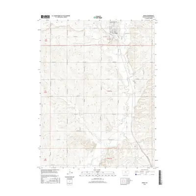
2016 Map of Onaga
USGS Topo · Published 2016About this map
Onaga serves as the central hub for this northeast Kansas landscape, where the confluence of several local waterways dictates the rural layout. Significant drainages like Mill Cr and Vermillion Cr move through the township boundaries, influencing the placement of early infrastructure. The Vienna Cem sits near the banks of Vermillion Cr, while the Charles E Grutzmacher Municipal Airport occupies the northern outskirts of town. Transportation patterns are defined by a grid of named routes like Rolling Prairie Rd and the L K And W Rd, reflecting the region's agricultural foundations. The southern reaches of the map are defined by smaller tributaries including Jim Cr and Spring Cr, which cut through the terrain near family-named landmarks such as Aiken Switch Rd. This survey provides a clear view of the land as it remained organized into sections and townships into the early twenty-first century.
Find a feature on this map
44 named features on this map. Tap any name to fly to it.
Don’t see what you’re looking for? This feature index may not catch every label — zoom into the map to look around manually.
Map Details
Editions of this 2016 Onaga Map
This is the sole edition of this map. No revisions or reprints were ever made.
Other maps of this area
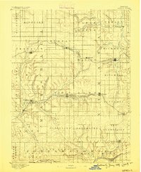
1889 · Seneca
USGS Topo · 1:125,000
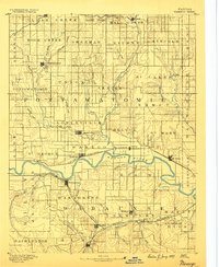
1889 · Wamego
USGS Topo · 1:125,000
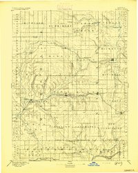
1894 · Seneca
USGS Topo · 1:125,000
1894 · Wamego
USGS Topo · 1:125,000
1955 · Manhattan
USGS Topo · 1:250,000
1956 · Manhattan
USGS Topo · 1:250,000
1957 · Manhattan
USGS Topo · 1:250,000
1964 · Louisville
USGS Topo · 1:24,000
1964 · Onaga NE
USGS Topo · 1:24,000
1964 · Laclede
USGS Topo · 1:24,000