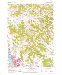
1963 Map of Onalaska
USGS Topo · Published 1975About this map
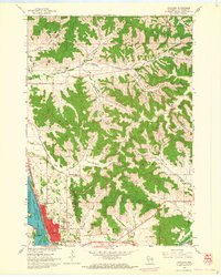
The transition from the Mississippi River floodplains to the deeply dissected coulee country of La Crosse County is captured in this mid-century survey. Onalaska occupies the river terrace, bounded by the wide expanse of Lake Onalaska and the Black River, while the inland landscape is defined by long, narrow valleys including Spring Coulee and Halfway Creek. The expansion of the city during the 1970s photorevision is visible in purple, showing suburban growth encroaching upon former agricultural lands and topographic features like Sugarloaf and Camel Hump.
Find a feature on this map
43 named features on this map. Tap any name to fly to it.
Don’t see what you’re looking for? This feature index may not catch every label — zoom into the map to look around manually.
Map Details
Editions of this 1963 Onalaska Map
2 editions found
Other maps of this area

1926 · North Bend
USGS Topo · 1:62,500

1927 · La Crosse
USGS Topo · 1:62,500

1929 · Galesville
USGS Topo · 1:62,500

1929 · North Bend
USGS Topo · 1:62,500

1930 · La Crescent
USGS Topo · 1:62,500

1930 · La Crosse
USGS Topo · 1:62,500

1953 · Eau Claire
USGS Topo · 1:250,000

1956 · La Crescent
USGS Topo · 1:62,500

1958 · Eau Claire
USGS Topo · 1:250,000

1958 · La Crosse
USGS Topo · 1:250,000