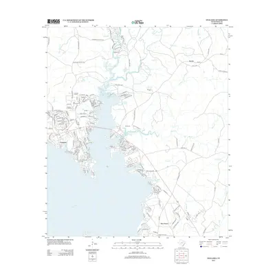
2013 Map of Onalaska
USGS Topo · Published 2013About this map
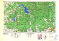
Livingston Reservoir dominates this landscape, its western shores heavily developed with residential networks such as Onalaska and West Tempe. The map illustrates the contemporary expansion of waterfront communities, where winding roads like Penwah Pines and Westridge Park replace the rural tracts once defined by older homesteads and logging. Despite the modern density near the water, the eastern and northern reaches maintain a more traditional character, where family-named markers like Wright Cem and Robinett Cem persist alongside small settlements like Patonia. This juxtaposition reveals the transition from a creek-and-branch economy—visible in labels like Robinett Br and Sank Br—to a recreational and residential hub centered on the reservoir. Significant local landmarks, including the Onalaska Lookout and Saint Andrew Cem, anchor the community's local history amidst the sprawling new development.
Find a feature on this map
171 named features on this map. Tap any name to fly to it.
Don’t see what you’re looking for? This feature index may not catch every label — zoom into the map to look around manually.
Map Details
Editions of this 2013 Onalaska Map
This is the sole edition of this map. No revisions or reprints were ever made.
Other maps of this area

1954 · Beaumont
USGS Topo · 1:250,000
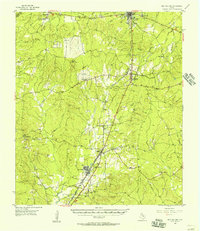
1955 · New Willard
USGS Topo · 1:62,500

1957 · Beaumont
USGS Topo · 1:250,000
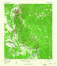
1958 · Livingston
USGS Topo · 1:62,500
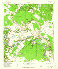
1960 · Blanchard
USGS Topo · 1:24,000
1960 · Colita
USGS Topo · 1:24,000
1960 · Carlisle
USGS Topo · 1:24,000
1960 · Stephen Creek
USGS Topo · 1:24,000
1961 · Onalaska
USGS Topo · 1:24,000
1984 · Beaumont
USGS Topo · 1:250,000