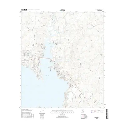
2016 Map of Onalaska
USGS Topo · Published 2016About this map
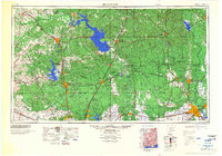
Onalaska sits at the northern reaches of Lake Livingston, where the landscape is defined by the labyrinthine coves and peninsulas of the reservoir. This 2016 survey shows the developed residential fingers extending into the water, particularly around Cedar Point and the numerous named coves like Mulberry Cove and Yupon Cove. The terrain is deeply dissected by a network of creeks and branches, including Sandy Creek, Manton Creek, and Robinett Branch, which flow through the timbered tracts east of the main lake body.
Find a feature on this map
128 named features on this map. Tap any name to fly to it.
Don’t see what you’re looking for? This feature index may not catch every label — zoom into the map to look around manually.
Map Details
Editions of this 2016 Onalaska Map
This is the sole edition of this map. No revisions or reprints were ever made.
Other maps of this area

1954 · Beaumont
USGS Topo · 1:250,000
1955 · New Willard
USGS Topo · 1:62,500

1957 · Beaumont
USGS Topo · 1:250,000
1958 · Livingston
USGS Topo · 1:62,500
1960 · Blanchard
USGS Topo · 1:24,000
1960 · Colita
USGS Topo · 1:24,000
1960 · Carlisle
USGS Topo · 1:24,000
1960 · Stephen Creek
USGS Topo · 1:24,000
1961 · Onalaska
USGS Topo · 1:24,000
1984 · Beaumont
USGS Topo · 1:250,000