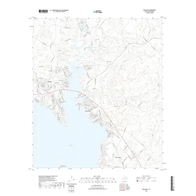
2019 Map of Onalaska
USGS Topo · Published 2019About this map
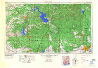
Lake Livingston dominates the western portion of this Polk County landscape, framing the peninsula-style growth of modern residential developments. The city of Onalaska serves as the primary hub, with its established residential grid including Magnolia Park and Idlewild Ests. To the east, the terrain becomes more dissected by a network of drainage systems like Sandy Cr and Manton Cr, which flow toward the reservoir.
Find a feature on this map
129 named features on this map. Tap any name to fly to it.
Don’t see what you’re looking for? This feature index may not catch every label — zoom into the map to look around manually.
Map Details
Editions of this 2019 Onalaska Map
This is the sole edition of this map. No revisions or reprints were ever made.
Other maps of this area

1954 · Beaumont
USGS Topo · 1:250,000
1955 · New Willard
USGS Topo · 1:62,500

1957 · Beaumont
USGS Topo · 1:250,000
1958 · Livingston
USGS Topo · 1:62,500
1960 · Blanchard
USGS Topo · 1:24,000
1960 · Colita
USGS Topo · 1:24,000
1960 · Carlisle
USGS Topo · 1:24,000
1960 · Stephen Creek
USGS Topo · 1:24,000
1961 · Onalaska
USGS Topo · 1:24,000
1984 · Beaumont
USGS Topo · 1:250,000