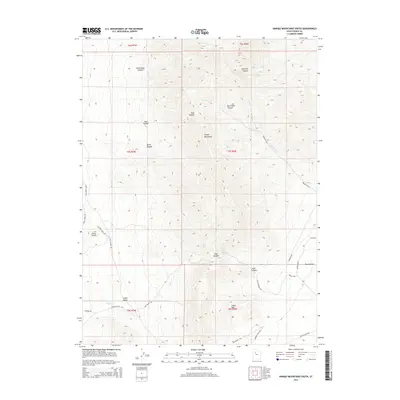
2014 Map of Onaqui Mountains South
USGS Topo · Published 2014About this map
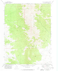
Onaqui Mountains dominate this high-desert landscape in Tooele County, where a series of deep drainages like Skull Faust Canyon and East Faust Canyon define the eastern slopes. The area is characterized by its vital water sources, including Hellhole Spring, Two Spring, and Rock Canyon Spring, which have historically sustained activity in this arid environment. To the southwest, Little Valley sits between the main mountain mass and the distinctive Davis Knolls. A modern network of utility and ranch roads, such as Hatch Ranch Rd and Aqueduct Rd, traces the lower elevations near Rush Valley. The map details the transition from the high peaks of Little Mtn down to the alluvial plains, illustrating the drainage patterns of Dry Cr and the structural features of Post Hollow.
Find a feature on this map
36 named features on this map. Tap any name to fly to it.
Don’t see what you’re looking for? This feature index may not catch every label — zoom into the map to look around manually.
Map Details
Editions of this 2014 Onaqui Mountains South Map
This is the sole edition of this map. No revisions or reprints were ever made.
Other maps of this area
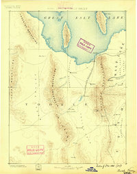
1885 · Tooele Valley
USGS Topo · 1:250,000
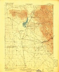
1918 · Stockton
USGS Topo · 1:62,500

1953 · Tooele
USGS Topo · 1:250,000
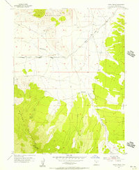
1955 · Indian Peaks
USGS Topo · 1:24,000
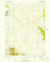
1955 · Davis Knolls
USGS Topo · 1:24,000
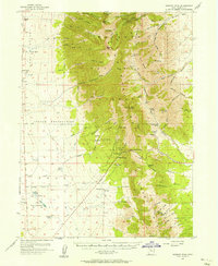
1955 · Deseret Peak
USGS Topo · 1:62,500
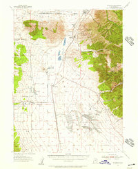
1955 · Stockton
USGS Topo · 1:62,500

1955 · Tooele
USGS Topo · 1:250,000
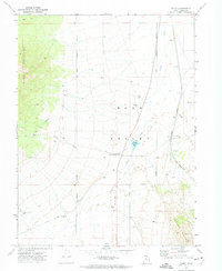
1971 · Faust
USGS Topo · 1:24,000
1971 · Onaqui Mts South
USGS Topo · 1:24,000