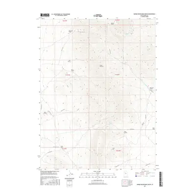
2017 Map of Onaqui Mountains South
USGS Topo · Published 2017About this map
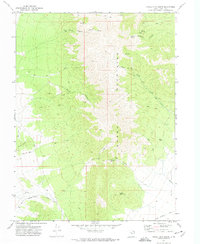
Onaqui Mountains dominate this central Utah landscape, where steep canyons and high ridges transition into the flat expanse of Rush Valley. This 2017 survey documents a network of utility corridors and historical travel routes, most notably the Pony Express Rd crossing through the southern reaches near Little Valley. The map reveals the critical importance of water in this arid environment, marking vital sources like Hellhole Spring, Two Spring, and Rock Canyon Spring tucked into the mountain folds. Local nomenclature reflects the terrain and early settlement, with labels such as Davis Knolls, Skull Faust Canyon, and Burnt Canyon providing geographical context for researchers and genealogists. Modern infrastructure is represented by the Aqueduct Rd and several transmission lines, showing how the land continues to serve as a corridor for resource management.
Find a feature on this map
37 named features on this map. Tap any name to fly to it.
Don’t see what you’re looking for? This feature index may not catch every label — zoom into the map to look around manually.
Map Details
Editions of this 2017 Onaqui Mountains South Map
This is the sole edition of this map. No revisions or reprints were ever made.
Other maps of this area
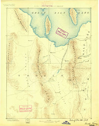
1885 · Tooele Valley
USGS Topo · 1:250,000
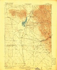
1918 · Stockton
USGS Topo · 1:62,500

1953 · Tooele
USGS Topo · 1:250,000
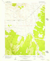
1955 · Indian Peaks
USGS Topo · 1:24,000
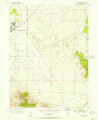
1955 · Davis Knolls
USGS Topo · 1:24,000
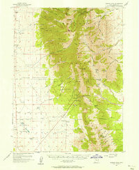
1955 · Deseret Peak
USGS Topo · 1:62,500
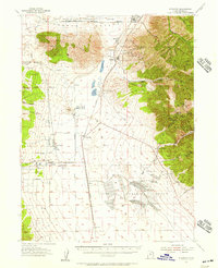
1955 · Stockton
USGS Topo · 1:62,500

1955 · Tooele
USGS Topo · 1:250,000
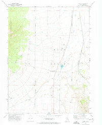
1971 · Faust
USGS Topo · 1:24,000
1971 · Onaqui Mts South
USGS Topo · 1:24,000