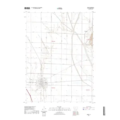
2018 Map of Onawa
USGS Topo · Published 2018About this map
Onawa serves as the focal point of this western Iowa landscape, situated on the flat Missouri River bottomlands just west of the Little Sioux River. The area's agricultural identity is clearly defined by a sophisticated network of drainage infrastructure, including Losey Ditch, Pratt Ditch, and the prominent Garretson Outlet Ditch, which manage the water levels of these productive plains. Further north, the small settlement of Kennebec sits near the base of the loess hills, where the terrain begins to shift away from the reclaimed marshlands. Genealogists and local historians can pinpoint several community landmarks, including the Onawa Cem and the central Po (Post Office), while the gridded street system of the county seat—featuring names like Emerald St and Jasper St—reflects the town's late-19th-century planning and growth.
Find a feature on this map
53 named features on this map. Tap any name to fly to it.
Don’t see what you’re looking for? This feature index may not catch every label — zoom into the map to look around manually.
Map Details
Editions of this 2018 Onawa Map
This is the sole edition of this map. No revisions or reprints were ever made.
Other maps of this area

1954 · Omaha
USGS Topo · 1:250,000

1954 · Fort Dodge
USGS Topo · 1:250,000

1955 · Sioux City
USGS Topo · 1:250,000

1955 · Fremont
USGS Topo · 1:250,000

1957 · Fremont
USGS Topo · 1:250,000

1957 · Omaha
USGS Topo · 1:250,000

1957 · Fort Dodge
USGS Topo · 1:250,000

1958 · Sioux City
USGS Topo · 1:250,000

1958 · Omaha
USGS Topo · 1:250,000

1958 · Fremont
USGS Topo · 1:250,000