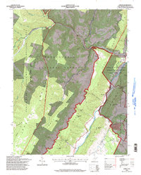
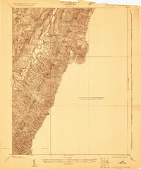
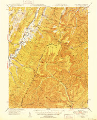
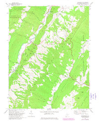
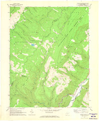
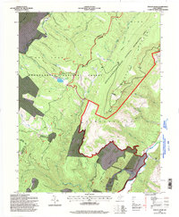
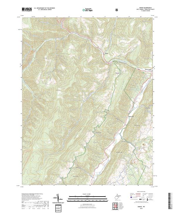
1995 Map of Onego
USGS Topo · Published 1998About this map
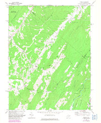
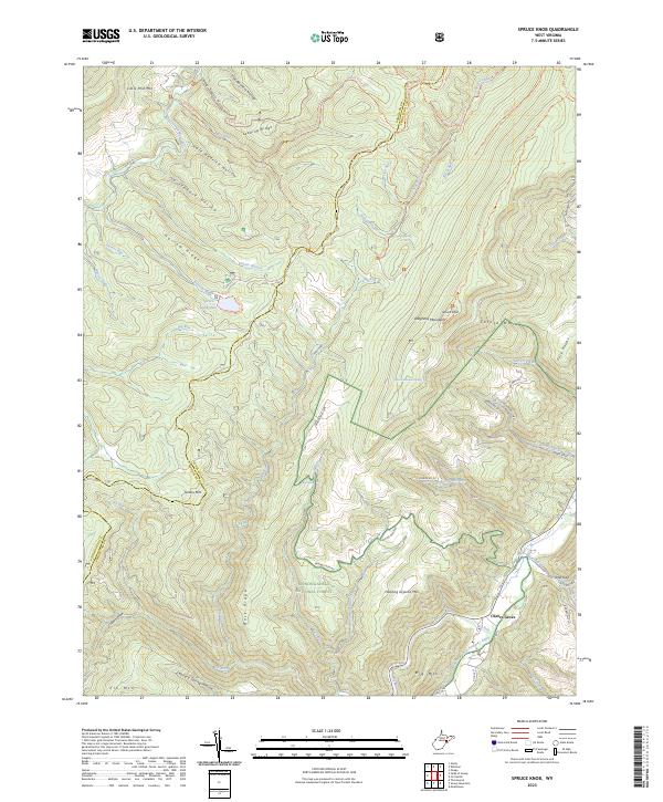
Monongahela National Forest dominates this mid-1990s landscape, where the South Fork North Fork Potomac River carves through deep gaps in the Knobs. Small mountain settlements like Onego and Teterton sit along the narrow valley floors, connected by roads that wind past numerous unnamed rural cemeteries. The map details the transition between public timberlands and recreational landmarks such as Seneca Rocks and the Seneca Caverns. For genealogists and local historians, the sheet preserves family-named landmarks and peaks including Ketterman Knob, Mallow Knob, and Harman Knob, alongside various backcountry routes like the Allegheny Trail and the Lumberjack Trail. Evidence of local industry is visible in the scattered mines and a quarry near Germany Run, reflecting the resource-based economy of this part of Pendleton County.
Find a feature on this map
52 named features on this map. Tap any name to fly to it.
Don’t see what you’re looking for? This feature index may not catch every label — zoom into the map to look around manually.
Map Details
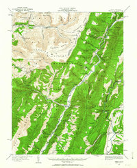
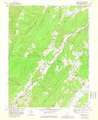
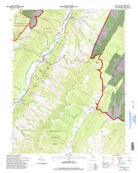
Editions of this 1995 Onego Map
This is the sole edition of this map. No revisions or reprints were ever made.
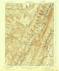
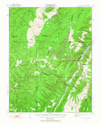
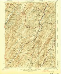
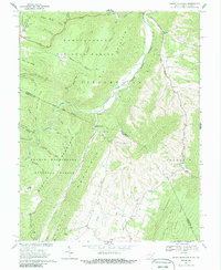
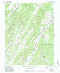
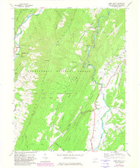
Historical Maps of Macksville Through Time
35 maps found
1920 Onego
Pendleton County, WV
1921 Onego
Pendleton County, WV
1922 Circleville
Pendleton County, WV
1922 Fort Seybert
Pendleton County, WV
1922 Onego
Pendleton County, WV
1922 Spruce Knob
Pendleton County, WV
1924 Circleville
Pendleton County, WV
1924 Fort Seybert
Pendleton County, WV
1924 Spruce Knob
Pendleton County, WV
1947 Fort Seybert
Pendleton County, WV
1951 Fort Seybert
Pendleton County, WV
1968 Circleville
Pendleton County, WV
1968 Moatstown
Pendleton County, WV
1968 Onego
Pendleton County, WV
1969 Fort Seybert
Pendleton County, WV
1969 Mozer
Pendleton County, WV
1969 Snowy Mountain
Pendleton County, WV
1969 Sugar Grove
Pendleton County, WV
1969 Upper Tract
Pendleton County, WV
1970 Spruce Knob
Pendleton County, WV
1995 Circleville
Pendleton County, WV
1995 Mozer
Pendleton County, WV
1995 Onego
Pendleton County, WV
1995 Snowy Mountain
Pendleton County, WV
1995 Spruce Knob
Pendleton County, WV
1995 Upper Tract
Pendleton County, WV
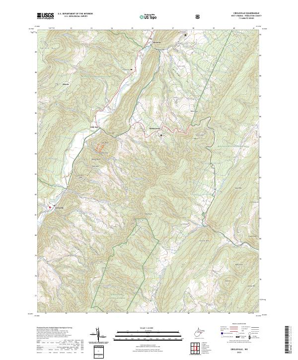
2023 Circleville
Pendleton County, WV
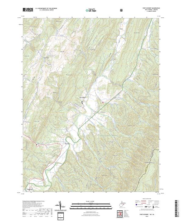
2023 Fort Seybert
Pendleton County, WV
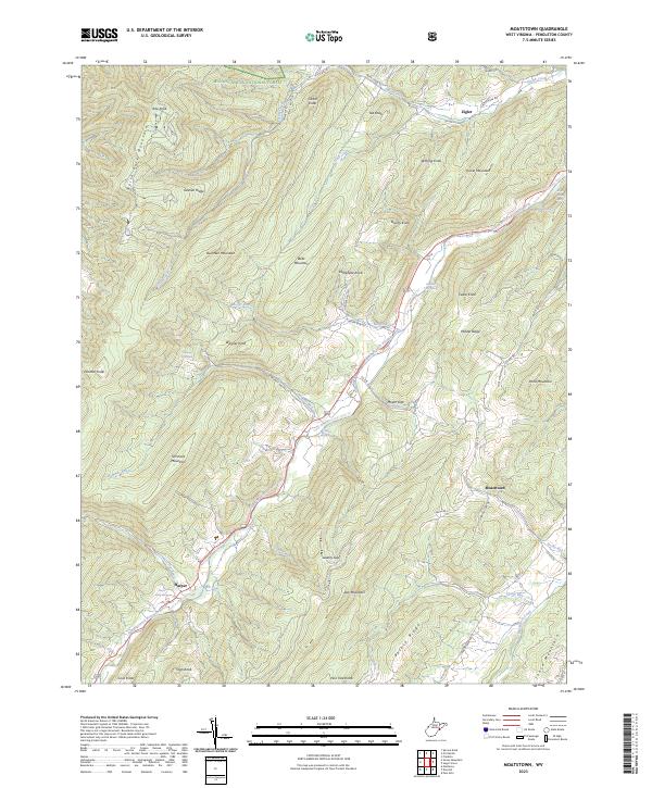
2023 Moatstown
Pendleton County, WV
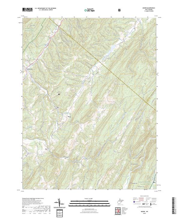
2023 Mozer
Pendleton County, WV
2023 Onego
Pendleton County, WV
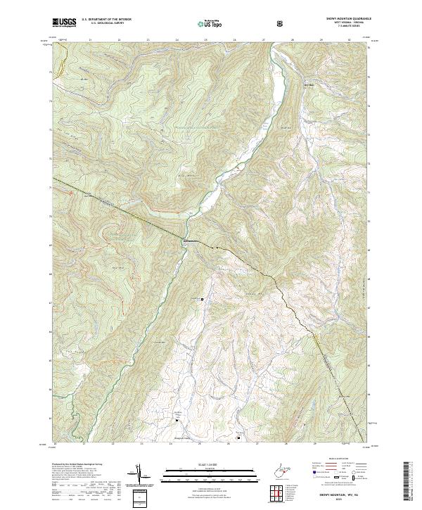
2023 Snowy Mountain
Pendleton County, WV
2023 Spruce Knob
Pendleton County, WV
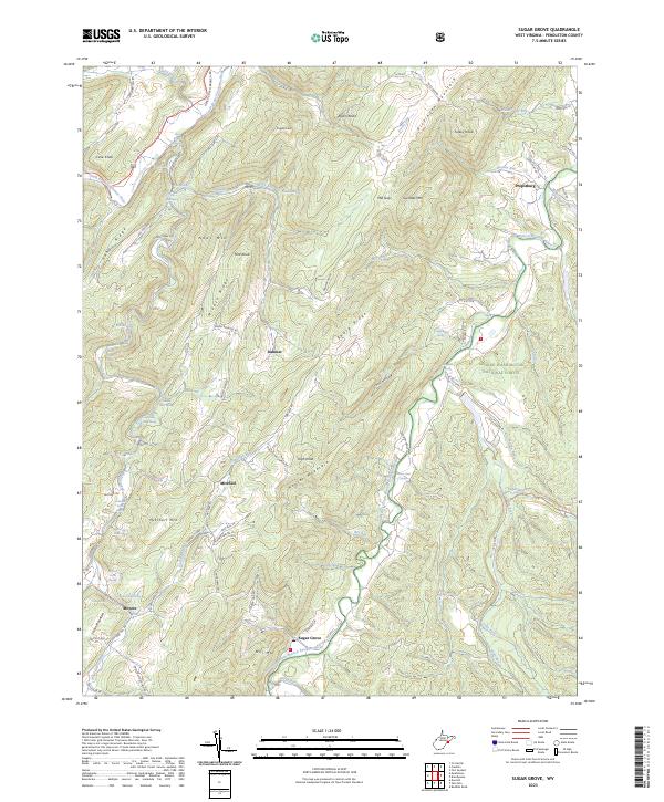
2023 Sugar Grove
Pendleton County, WV
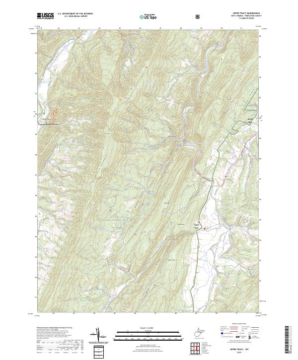
2023 Upper Tract
Pendleton County, WV