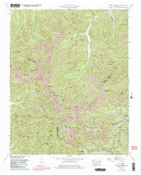
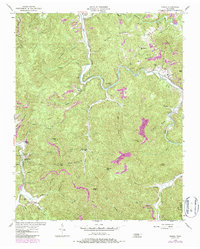
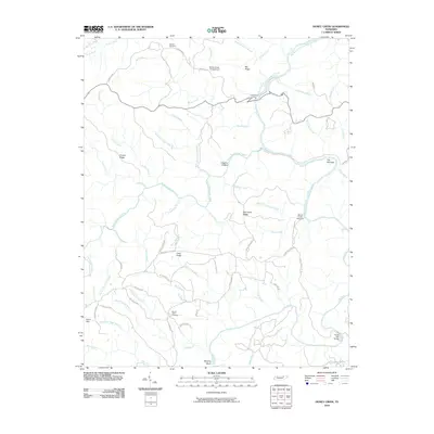
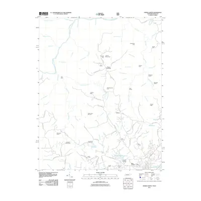
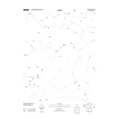
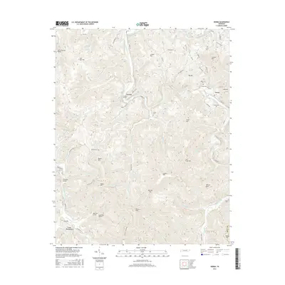
1952 Map of Oneida South
USGS Topo · Published 1969About this map
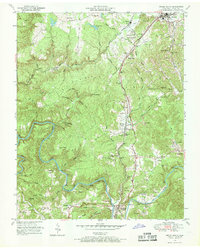
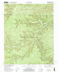
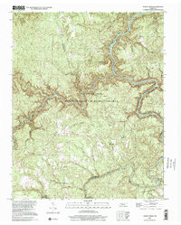
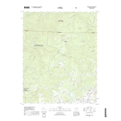
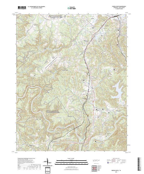
The Oneida and Western and Southern railroads converge in this 1950s survey of Scott County, where the industrial landscape of strip mining meets the deeply carved valleys of the Cumberland Plateau. The New River and Clear Fork dominate the southern half of the sheet, winding around distinctive terrain like Negro Bend and Reed Bottom. Local life is anchored in settlements like Oneida, Helenwood, and the county seat at Huntsville, with community hubs marked by the Sulphur Spring School and Hazel Valley Ch. For genealogists, the map is remarkably detailed, identifying numerous family burial grounds such as Pemberton Cem, Honeycutt Cem, and Cecil Cem. The terrain rises toward Big Ridge and Grassy Knob, the latter topped by the Grassy Knob Lookout Tower, providing a clear record of the region's mid-century coal and timber infrastructure.
Find a feature on this map
86 named features on this map. Tap any name to fly to it.
Don’t see what you’re looking for? This feature index may not catch every label — zoom into the map to look around manually.
Map Details
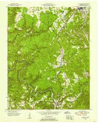
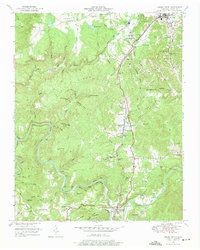
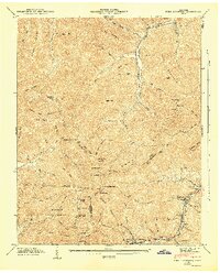
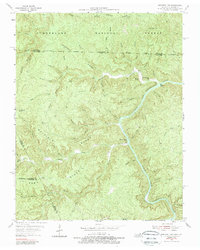
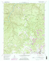
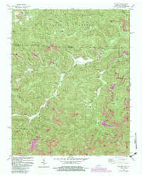
Editions of this 1952 Oneida South Map
4 editions found
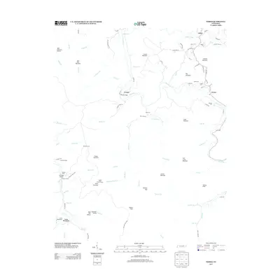
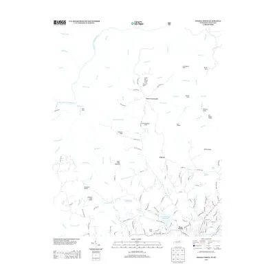
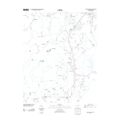
Historical Maps of Oneida Through Time
49 maps found

1935 Mages
Scott County, TN

1935 Moggasin
Scott County, TN

1936 Hogbell Gap
Scott County, TN
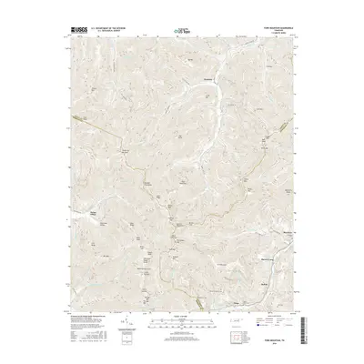
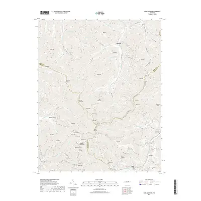
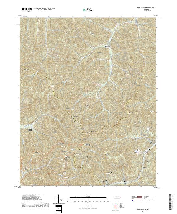
1946 Fork Mountain
Scott County, TN
1952 Fork Mountain
Scott County, TN
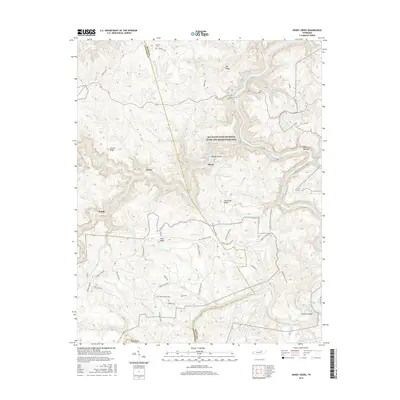
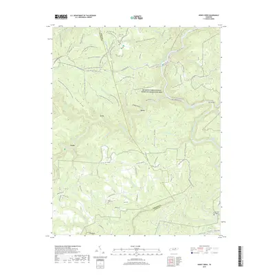
1952 Honey Creek
Scott County, TN
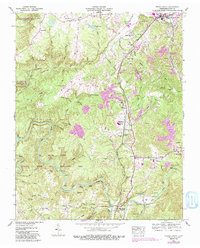
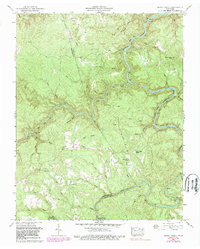
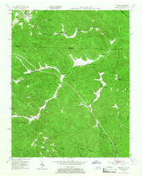
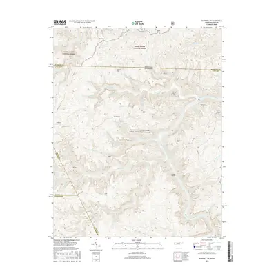
1952 Oneida South
Scott County, TN
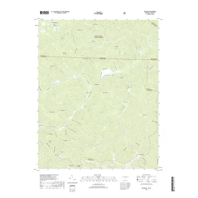
1953 Ketchen
Scott County, TN
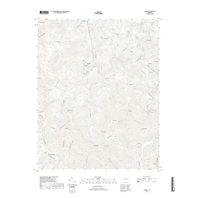
1954 Norma
Scott County, TN
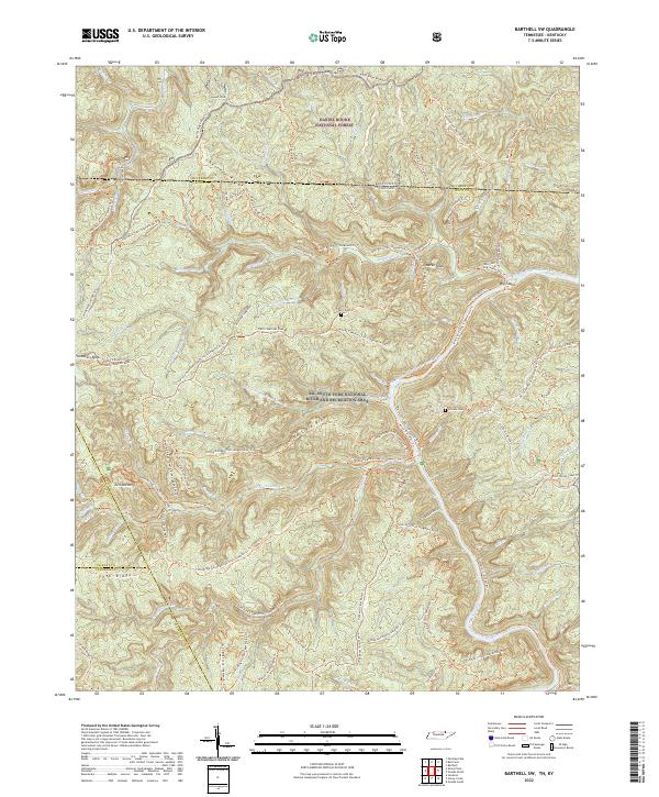
1955 Barthell SW
Scott County, TN
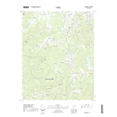
1955 Oneida North
Scott County, TN
1980 Ketchen
Scott County, TN
2000 Barthell SW
Scott County, TN
2000 Honey Creek
Scott County, TN
2010 Barthell SW
Scott County, TN
2010 Fork Mountain
Scott County, TN
2010 Honey Creek
Scott County, TN
2010 Ketchen
Scott County, TN
2010 Norma
Scott County, TN
2010 Oneida South
Scott County, TN
2011 Oneida North
Scott County, TN
2013 Barthell SW
Scott County, TN
2013 Fork Mountain
Scott County, TN
2013 Honey Creek
Scott County, TN
2013 Ketchen
Scott County, TN
2013 Norma
Scott County, TN
2013 Oneida North
Scott County, TN
2013 Oneida South
Scott County, TN
2016 Barthell SW
Scott County, TN
2016 Fork Mountain
Scott County, TN
2016 Honey Creek
Scott County, TN
2016 Ketchen
Scott County, TN
2016 Norma
Scott County, TN
2016 Oneida North
Scott County, TN
2016 Oneida South
Scott County, TN
2019 Barthell SW
Scott County, TN
2019 Fork Mountain
Scott County, TN
2019 Honey Creek
Scott County, TN
2019 Ketchen
Scott County, TN
2019 Norma
Scott County, TN
2019 Oneida North
Scott County, TN
2019 Oneida South
Scott County, TN
2022 Barthell SW
Scott County, TN
2022 Fork Mountain
Scott County, TN
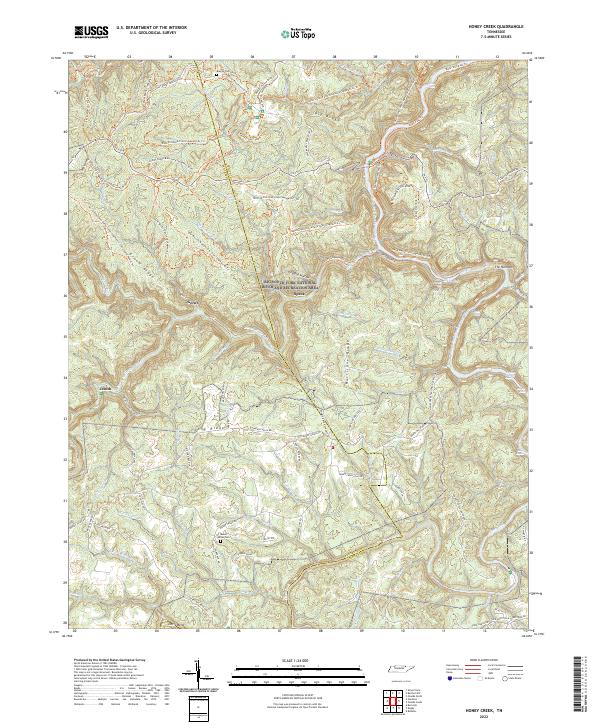
2022 Honey Creek
Scott County, TN
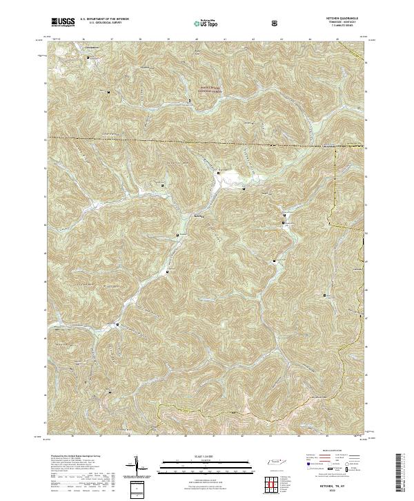
2022 Ketchen
Scott County, TN
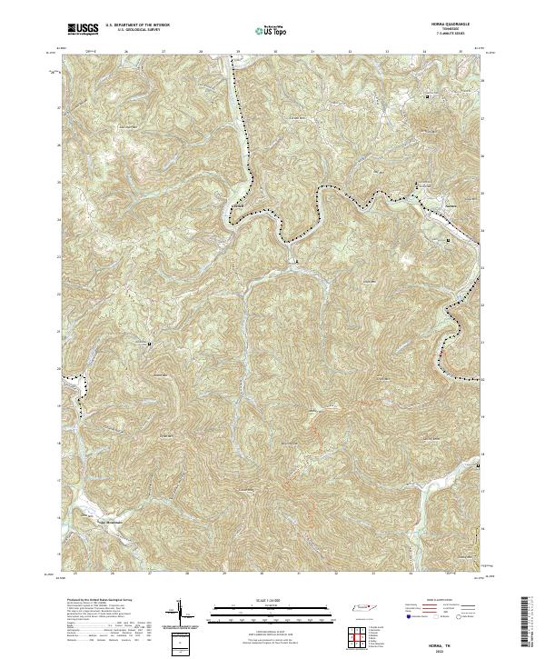
2022 Norma
Scott County, TN
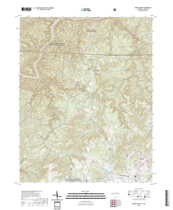
2022 Oneida North
Scott County, TN
2022 Oneida South
Scott County, TN