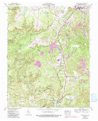
1952 Map of Oneida South
USGS Topo · Published 1991About this map
Helenwood and Huntsville anchor the eastern corridor of this Scott County region, where the economy was deeply tied to the Cincinnati New Orleans and Texas Pacific RR. The map reveals a landscape defined by industrial extraction, with extensive strip mines and smaller operations scattered throughout the hills near High Point and Verdun. To the west, the terrain drops toward the Big South Fork National River, where features like Negro Bend and Clear Fork mark the transition from human settlement to protected wilderness. For the family historian, numerous small burial grounds such as Pemberton and Duncan cemeteries are documented alongside landmarks like the Grassy Knob Lookout Tower. The 1980s revisions highlight modern developments, including the Scott Municipal Airport, juxtaposed against an old railroad grade, showing the evolution of transport in the Cumberland Plateau.
Find a feature on this map
73 named features on this map. Tap any name to fly to it.
Don’t see what you’re looking for? This feature index may not catch every label — zoom into the map to look around manually.
Map Details
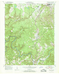
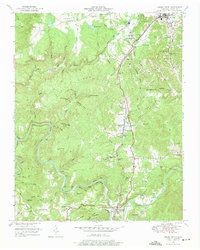
Editions of this 1952 Oneida South Map
4 editions found
Other maps of this area

1890 · Williamsburg
USGS Topo · 1:125,000

1893 · Briceville
USGS Topo · 1:125,000

1894 · Williamsburg
USGS Topo · 1:125,000

1895 · Wartburg
USGS Topo · 1:125,000

1895 · Briceville
USGS Topo · 1:125,000

1896 · Wartburg
USGS Topo · 1:125,000

1896 · Briceville
USGS Topo · 1:125,000

1934 · Barthell
USGS Topo · 1:62,500

1952 · Helenwood
USGS Topo · 1:24,000

1952 · Honey Creek
USGS Topo · 1:24,000