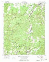
1952 Map of Oneida South
USGS Topo · Published 1975About this map
New River and the Clear Fork wind through the Cumberland Plateau of Scott County, where the mid-century economy is defined by timber, coal extraction, and the intersection of major rail lines. The Southern Railway runs north-south through Helenwood and Oneida, while the Oneida and Western Railroad traverses the western reaches near Big Ridge. Evidence of the region's industrial footprint is visible in the strip mines located near Huntsville and along the eastern ridges.
Find a feature on this map
84 named features on this map. Tap any name to fly to it.
Don’t see what you’re looking for? This feature index may not catch every label — zoom into the map to look around manually.
Map Details
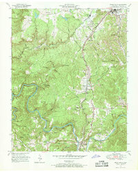
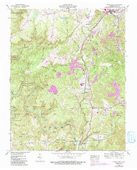
Editions of this 1952 Oneida South Map
4 editions found
Other maps of this area

1890 · Williamsburg
USGS Topo · 1:125,000

1893 · Briceville
USGS Topo · 1:125,000

1894 · Williamsburg
USGS Topo · 1:125,000

1895 · Wartburg
USGS Topo · 1:125,000

1895 · Briceville
USGS Topo · 1:125,000

1896 · Wartburg
USGS Topo · 1:125,000

1896 · Briceville
USGS Topo · 1:125,000

1934 · Barthell
USGS Topo · 1:62,500

1952 · Helenwood
USGS Topo · 1:24,000

1952 · Honey Creek
USGS Topo · 1:24,000