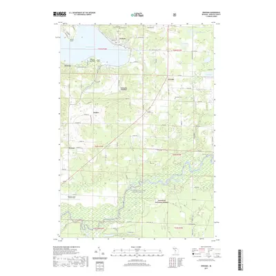
2019 Map of Onekama
USGS Topo · Published 2019About this map
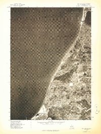
Portage Lake and its surrounding coastal communities define this portion of Manistee County, where the village of Onekama sits at the head of the water. The landscape is a complex network of bayous and creeks, including Browns Bayou and Borski Bayou, which drain into the Manistee River as it flows through the Manistee National Forest. This era shows a well-developed road system connecting inland settlements like Norwalk and Douglas to the lakefront, while specialized enclaves like Wic-a-te-wah and Red Park occupy the prominent peninsulas of North Point and Eagle Point.
Find a feature on this map
89 named features on this map. Tap any name to fly to it.
Don’t see what you’re looking for? This feature index may not catch every label — zoom into the map to look around manually.
Map Details
Editions of this 2019 Onekama Map
This is the sole edition of this map. No revisions or reprints were ever made.
Other maps of this area

1954 · Manitowoc
USGS Topo · 1:250,000
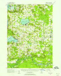
1956 · Onekama
USGS Topo · 1:62,500
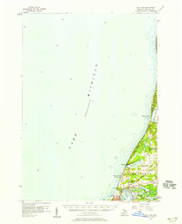
1956 · Bar Lake
USGS Topo · 1:62,500
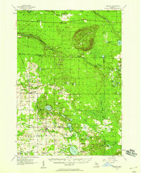
1957 · Freesoil
USGS Topo · 1:62,500

1958 · Manitowoc
USGS Topo · 1:250,000
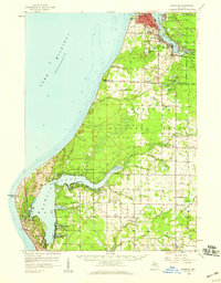
1958 · Manistee
USGS Topo · 1:62,500
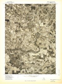
1976 · Onekama SE
USGS Topo · 1:24,000
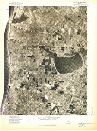
1976 · Onekama NW
USGS Topo · 1:24,000
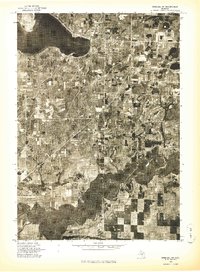
1976 · Onekama SW
USGS Topo · 1:24,000
1976 · Bar Lake SE
USGS Topo · 1:24,000