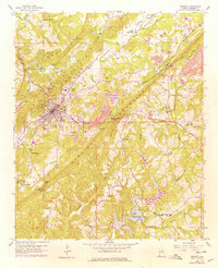
1958 Map of Oneonta
USGS Topo · Published 1978About this map
Oneonta serves as the focal point of this Blount County landscape, situated where the Louisville and Nashville railroad cuts through the corridor of Murphree Valley. The era's industrial activity is clearly visible through the numerous strip mines and quarries dotting the slopes of Red Mountain and Sand Mountain. This 1950s documentation, updated with late-1970s revisions, illustrates the growth of local infrastructure, including the Dixie Highway and social centers like the Drive-in Theater. Rural life is anchored by smaller nodes such as Champion and Chepultepec, with numerous community landmarks like Mt Ebell Ch and Oakhill Cem providing critical reference points for genealogists. To the south, the waters of Highland Lake and the winding Calvert Prong Little Warrior River dominate the drainage pattern of the valley.
Find a feature on this map
59 named features on this map. Tap any name to fly to it.
Don’t see what you’re looking for? This feature index may not catch every label — zoom into the map to look around manually.
Map Details
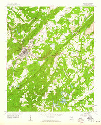
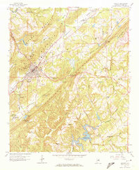
Editions of this 1958 Oneonta Map
Other maps of this area

1885 · Gadsden
USGS Topo · 1:125,000

1888 · Cullman
USGS Topo · 1:125,000

1888 · Gadsden
USGS Topo · 1:125,000

1889 · Springville
USGS Topo · 1:125,000

1889 · Birmingham
USGS Topo · 1:125,000

1892 · Cullman
USGS Topo · 1:125,000

1892 · Birmingham
USGS Topo · 1:125,000

1892 · Springville
USGS Topo · 1:125,000

1892 · Gadsden
USGS Topo · 1:125,000

1895 · Gadsden
USGS Topo · 1:125,000