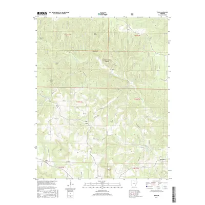
2017 Map of Onia
USGS Topo · Published 2017About this map
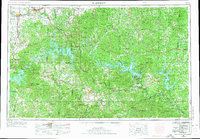
Onia and Alco anchor this portion of the Ozark highlands, where the Ozark National Forest covers much of the northern terrain. The landscape is defined by a complex network of hollows and ridges, including Murry Treat Hollow and Boardtree Hollow, draining into major waterways like Roasting Ear Cr and its various prongs. This 2017 survey reflects a rural settlement pattern where life and commerce are still closely tied to the winding valley roads and family landmarks.
Find a feature on this map
71 named features on this map. Tap any name to fly to it.
Don’t see what you’re looking for? This feature index may not catch every label — zoom into the map to look around manually.
Map Details
Editions of this 2017 Onia Map
This is the sole edition of this map. No revisions or reprints were ever made.
Other maps of this area
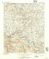
1890 · Mountain Home
USGS Topo · 1:125,000
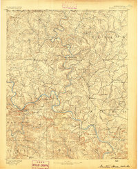
1891 · Mountain Home
USGS Topo · 1:125,000
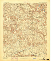
1892 · Mountain View
USGS Topo · 1:125,000
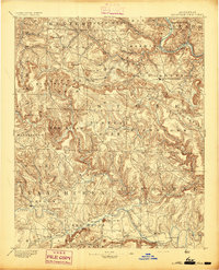
1894 · Mountain View
USGS Topo · 1:125,000
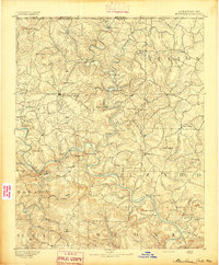
1894 · Mountain Home
USGS Topo · 1:125,000

1945 · Harrison
USGS Topo · 1:250,000

1949 · Harrison
USGS Topo · 1:250,000
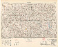
1954 · Harrison
USGS Topo · 1:250,000
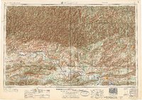
1956 · Russellville
USGS Topo · 1:250,000
1958 · Harrison
USGS Topo · 1:250,000