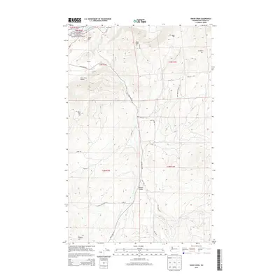
2014 Map of Onion Creek
USGS Topo · Published 2014About this map
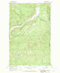
Onion Creek serves as the central focal point of this Stevens County survey, where the waterway and the Onion Creek Rd corridor define the local geography. To the northwest, the map captures a significant portion of the Lake Roosevelt National Recreation Area along the shores of Franklin D Roosevelt Lake, including the prominent Island Rock. The settlement patterns here are linked to resource extraction and transportation, evidenced by locations like Limerock, Dolomite, and Kanes Siding along the northern rail and road routes.
Find a feature on this map
36 named features on this map. Tap any name to fly to it.
Don’t see what you’re looking for? This feature index may not catch every label — zoom into the map to look around manually.
Map Details
Editions of this 2014 Onion Creek Map
This is the sole edition of this map. No revisions or reprints were ever made.
Other maps of this area
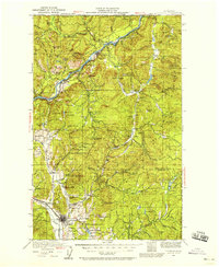
1929 · Colville
USGS Topo · 1:125,000
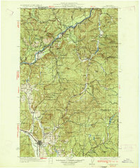
1933 · Colville
USGS Topo · 1:125,000
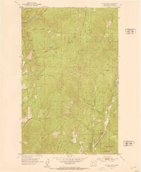
1952 · Gillette Mtn
USGS Topo · 1:24,000
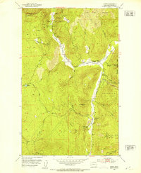
1952 · Spirit
USGS Topo · 1:24,000
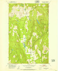
1952 · Echo Valley
USGS Topo · 1:24,000
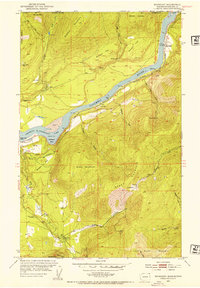
1952 · Boundary
USGS Topo · 1:24,000
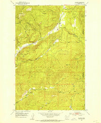
1952 · Aladdin
USGS Topo · 1:24,000

1958 · Sandpoint
USGS Topo · 1:250,000

1963 · Sandpoint
USGS Topo · 1:250,000
1966 · Aladdin
USGS Topo · 1:24,000