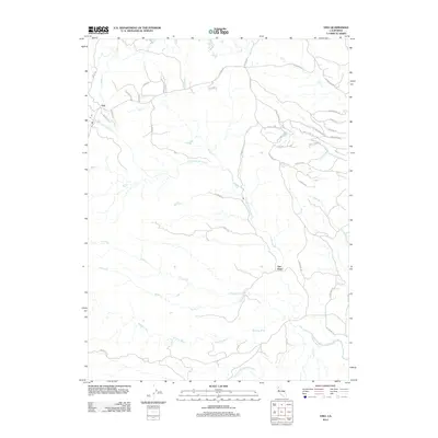
2012 Map of Ono
USGS Topo · Published 2012About this map
Ono and Gas Point anchor this rural landscape in western Shasta County, where a complex network of waterways defines the terrain. The drainage system is dominated by the Roaring River and multiple branches of Cottonwood Creek, including the N Fork Cottonwood Cr and the Middle Fork Cottonwood Cr. The settlement pattern follows the local topography, with roads like Platina Rd and Gas Point Rd navigating the ridges and valleys between significant drainages such as Eagle Cr and Huling Cr. Smaller residential developments are visible through names like Small Farms Rd and Windwalker Ln, contrasting with the more established rural routes. The map illustrates a landscape transition where the foothills begin to descend toward the valley, marked by the convergence of Crow Cr, Squaw Cr, and Antelope Cr.
Find a feature on this map
46 named features on this map. Tap any name to fly to it.
Don’t see what you’re looking for? This feature index may not catch every label — zoom into the map to look around manually.
Map Details
Editions of this 2012 Ono Map
This is the sole edition of this map. No revisions or reprints were ever made.
Other maps of this area

1890 · Red Bluff
USGS Topo · 1:250,000

1894 · Red Bluff
USGS Topo · 1:250,000

1901 · Redding
USGS Topo · 1:125,000

1913 · Weaverville
USGS Topo · 1:125,000

1932 · Olinda
USGS Topo · 1:31,680

1935 · Olinda
USGS Topo · 1:31,680

1944 · Redding
USGS Topo · 1:62,500

1944 · French Gulch
USGS Topo · 1:62,500

1946 · Redding
USGS Topo · 1:62,500

1947 · Anderson
USGS Topo · 1:62,500