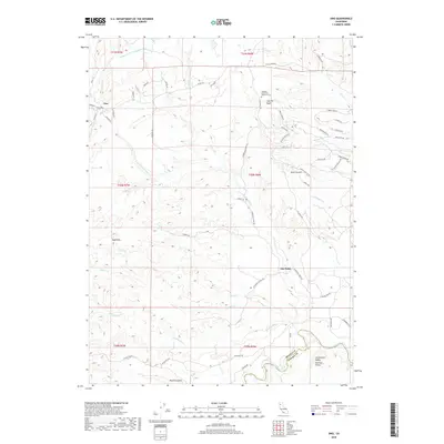
2018 Map of Ono
USGS Topo · Published 2018About this map
The settlement of Ono sits at the junction of Rainbow Lake Rd and Co Rd A16, serving as a gateway to the complex hydrology of the western Sacramento Valley foothills. The terrain here is deeply incised by the N Fork Cottonwood Cr and its many tributaries, including Eagle Cr, Huling Cr, and Bee Cr. The landscape transitions from the flatlands of the Sacramento Valley Central Valley toward the more prominent Bald Hills.
Find a feature on this map
62 named features on this map. Tap any name to fly to it.
Don’t see what you’re looking for? This feature index may not catch every label — zoom into the map to look around manually.
Map Details
Editions of this 2018 Ono Map
This is the sole edition of this map. No revisions or reprints were ever made.
Other maps of this area
1890 · Red Bluff
USGS Topo · 1:250,000
1894 · Red Bluff
USGS Topo · 1:250,000
1901 · Redding
USGS Topo · 1:125,000
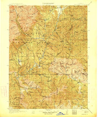
1913 · Weaverville
USGS Topo · 1:125,000
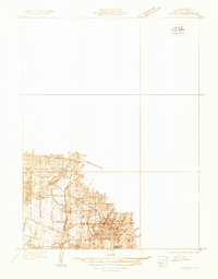
1932 · Olinda
USGS Topo · 1:31,680
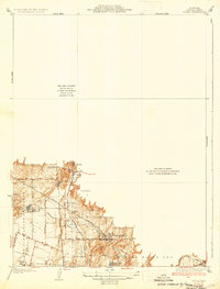
1935 · Olinda
USGS Topo · 1:31,680
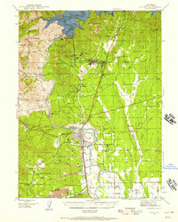
1944 · Redding
USGS Topo · 1:62,500
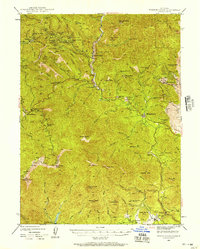
1944 · French Gulch
USGS Topo · 1:62,500
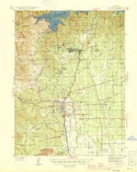
1946 · Redding
USGS Topo · 1:62,500
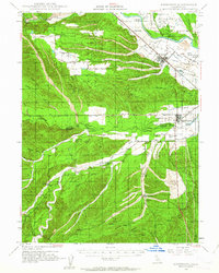
1947 · Anderson
USGS Topo · 1:62,500