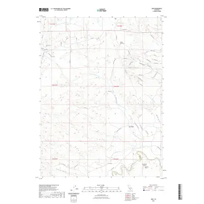
2022 Map of Ono
USGS Topo · Published 2022About this map
Igo and the crossroads at Gas Point anchor this landscape where the Sacramento Valley meets the rising foothills of the Klamath Mountains. The terrain is deeply incised by a complex drainage system, including N Fork Cottonwood Cr, Roaring River, and Crow Cr. Local history is preserved in sites like the Old Ono Cem and the more recent Northern California Veterans Cem, marking generations of residency in this rural pocket of the county. The map reveals an economy tied to both water management and historical extraction, evidenced by the Happy Valley Irrigation Canal in the north and features like Coal Pit Gulch and Poverty Gulch that hint at earlier resource-driven settlement patterns. Winding roads such as Gas Point School Rd and Co Rd A16 connect small clusters of homes and family-named landmarks across the dissected plateaus.
Find a feature on this map
62 named features on this map. Tap any name to fly to it.
Don’t see what you’re looking for? This feature index may not catch every label — zoom into the map to look around manually.
Map Details
Editions of this 2022 Ono Map
This is the sole edition of this map. No revisions or reprints were ever made.
Other maps of this area
1890 · Red Bluff
USGS Topo · 1:250,000
1894 · Red Bluff
USGS Topo · 1:250,000
1901 · Redding
USGS Topo · 1:125,000
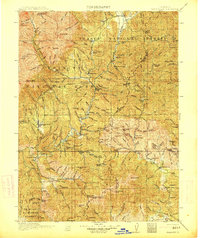
1913 · Weaverville
USGS Topo · 1:125,000
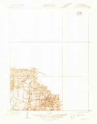
1932 · Olinda
USGS Topo · 1:31,680
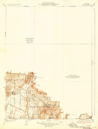
1935 · Olinda
USGS Topo · 1:31,680
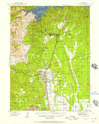
1944 · Redding
USGS Topo · 1:62,500
1944 · French Gulch
USGS Topo · 1:62,500
1946 · Redding
USGS Topo · 1:62,500
1947 · Anderson
USGS Topo · 1:62,500