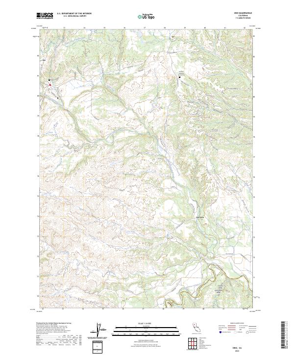
2023 Map of Ono
USGS Topo · Published 2023About this map
Ono and Igo sit at the northern edge of this drainage basin where the foothills begin to descend toward the Central Valley Sacramento Valley. The landscape is defined by the complex branching of Cottonwood Creek and its many tributaries, including the North Fork Cottonwood Creek and the southern Middle Fork Cottonwood Creek. These waterways have carved deep relief into the terrain, creating distinct landforms like Coal Pit Gulch and Poverty Gulch. Near the southern border, the Shasta Co and Tehama Co line follows the winding course of the river, while the Happy Valley Irrigation Canal cuts across the northern slopes. Notable for local history, the area contains three distinct burial sites: the Old Ono Cem, the Ono Cem, and the expansive Northern California Veterans Cem located near the road to Igo.
Find a feature on this map
66 named features on this map. Tap any name to fly to it.
Don’t see what you’re looking for? This feature index may not catch every label — zoom into the map to look around manually.
Map Details
Editions of this 2023 Ono Map
This is the sole edition of this map. No revisions or reprints were ever made.
Other maps of this area

1890 · Red Bluff
USGS Topo · 1:250,000

1894 · Red Bluff
USGS Topo · 1:250,000

1901 · Redding
USGS Topo · 1:125,000

1913 · Weaverville
USGS Topo · 1:125,000

1932 · Olinda
USGS Topo · 1:31,680

1935 · Olinda
USGS Topo · 1:31,680

1944 · Redding
USGS Topo · 1:62,500

1944 · French Gulch
USGS Topo · 1:62,500

1946 · Redding
USGS Topo · 1:62,500

1947 · Anderson
USGS Topo · 1:62,500