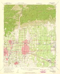
1954 Map of Ontario
USGS Topo · Published 1959About this map
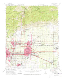
The Angeles National Forest and San Bernardino National Forest dominate the northern landscape of this mid-1950s survey, where the peak of Mt Baldy rises above canyons like San Antonio Canyon and Cucamonga Creek. Below the mountain line, the expanding suburban and industrial grid of the Pomona Valley is clearly visible. The map records the significant educational footprint of the Claremont Associated Colleges and Chaffey HS and Jr College, alongside the critical aviation infrastructure of the Ontario International Airport and the California Air National Guard base.
Find a feature on this map
77 named features on this map. Tap any name to fly to it.
Don’t see what you’re looking for? This feature index may not catch every label — zoom into the map to look around manually.
Map Details
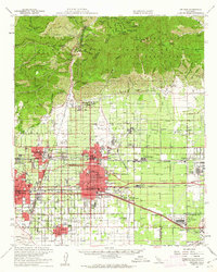
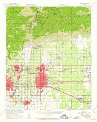
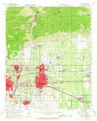
Editions of this 1954 Ontario Map
5 editions found
Other maps of this area

1894 · Pomona
USGS Topo · 1:62,500

1896 · Anaheim
USGS Topo · 1:62,500

1896 · San Bernardino
USGS Topo · 1:62,500

1897 · Pomona
USGS Topo · 1:62,500

1897 · Cucamonga
USGS Topo · 1:62,500

1898 · Pomona
USGS Topo · 1:62,500

1898 · San Bernardino
USGS Topo · 1:62,500

1898 · Anaheim
USGS Topo · 1:62,500

1900 · Cucamonga
USGS Topo · 1:62,500

1901 · Southern California Sheet No. 1
USGS Topo · 1:250,000