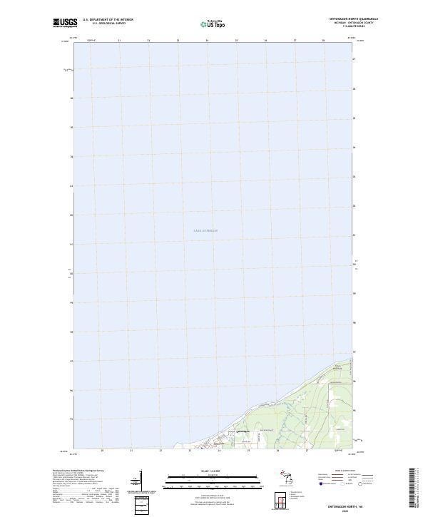
2023 Map of Ontonagon North
USGS Topo · Published 2023About this map
Ontonagon occupies the shoreline of Lake Superior in this contemporary record of Michigan's Upper Peninsula. The landscape is defined by the immediate transition from the open waters of the Great Lakes to a network of local roads and coastal landmarks. Significant features include Paddys Creek winding toward the lake and the coastal formation at Four Mile Rock. The street grid reveals the town's residential and logistical layout, with thoroughfares such as Paul Bunyan Ave and Airport Rd serving the community. This survey provides a clear view of the modern boundaries for t52n r40w and t52n r39w, showing how the town remains oriented toward the water, with developments like Lakeshore Dr tracing the edge of the lake.
Find a feature on this map
18 named features on this map. Tap any name to fly to it.
Don’t see what you’re looking for? This feature index may not catch every label — zoom into the map to look around manually.
Map Details
Editions of this 2023 Ontonagon North Map
This is the sole edition of this map. No revisions or reprints were ever made.
Other maps of this area

1950 · Greenland
USGS Topo · 1:62,500

1951 · Greenland
USGS Topo · 1:62,500

1955 · Ontonagon
USGS Topo · 1:62,500

1958 · Hancock
USGS Topo · 1:250,000

1958 · Iron River
USGS Topo · 1:250,000

1960 · Iron River
USGS Topo · 1:250,000

1960 · Hancock
USGS Topo · 1:250,000

1961 · Iron River
USGS Topo · 1:250,000

1961 · Hancock
USGS Topo · 1:250,000

1966 · Hancock
USGS Topo · 1:250,000