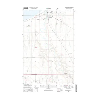
2014 Map of Ontonagon South
USGS Topo · Published 2014About this map
Ontonagon serves as the gateway to the southern reaches of the county, where the Ontonagon River meets the shore of Lake Superior. This 2014 survey captures the transition from the structured street grid of the village, featuring Minnesota Ave and Greenland Rd, to the expansive timberlands of the Ottawa National Forest further south. The landscape is defined by the complex drainage of the river system, including Paddys Cr and Mill Cr, which cut through the undulating terrain near the small settlement of Grand Rapids. Local history is preserved through several burial grounds, such as Riverside Cem and Evergreen Cem, while the Ontonagon County - Schuster Field Airport and the historic Old Norwich Trl highlight the area's ongoing role as a regional transportation hub between the forest and the Great Lakes.
Find a feature on this map
56 named features on this map. Tap any name to fly to it.
Don’t see what you’re looking for? This feature index may not catch every label — zoom into the map to look around manually.
Map Details
Editions of this 2014 Ontonagon South Map
This is the sole edition of this map. No revisions or reprints were ever made.
Other maps of this area

1949 · Matchwood NW
USGS Topo · 1:24,000

1949 · Rockland
USGS Topo · 1:62,500

1950 · Greenland
USGS Topo · 1:62,500

1951 · Rockland
USGS Topo · 1:62,500

1951 · Greenland
USGS Topo · 1:62,500

1955 · Ontonagon
USGS Topo · 1:62,500

1956 · Matchwood NW
USGS Topo · 1:24,000

1956 · Matchwood
USGS Topo · 1:62,500

1958 · Iron River
USGS Topo · 1:250,000

1960 · Iron River
USGS Topo · 1:250,000