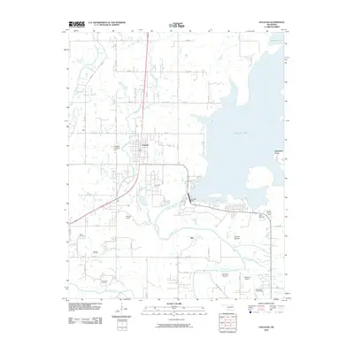
2010 Map of Oologah
USGS Topo · Published 2010About this map
Oologah Lake dominates the eastern landscape of Rogers County, held by the massive Oologah Dam where the Verdigris River was impounded. The settlement of Oologah serves as the central hub of the region, situated west of the reservoir. To the south, the terrain is punctuated by distinctive geographic rises such as Claremore Mound, Brushy Mound, and Lipe Mound, which stand out against the river valley.
Find a feature on this map
39 named features on this map. Tap any name to fly to it.
Don’t see what you’re looking for? This feature index may not catch every label — zoom into the map to look around manually.
Map Details
Editions of this 2010 Oologah Map
This is the sole edition of this map. No revisions or reprints were ever made.
Other maps of this area

1901 · Claremore
USGS Topo · 1:125,000

1901 · Nowata
USGS Topo · 1:125,000

1914 · Nowata
USGS Topo · 1:125,000

1914 · Claremore
USGS Topo · 1:125,000

1916 · Claremore
USGS Topo · 1:125,000

1954 · Tulsa
USGS Topo · 1:250,000

1956 · Collinsville
USGS Topo · 1:24,000

1958 · Tulsa
USGS Topo · 1:250,000

1959 · Collinsville NE
USGS Topo · 1:24,000

1963 · Tulsa
USGS Topo · 1:250,000