2022 Map of Oologah
USGS Topo · Published 2022About this map
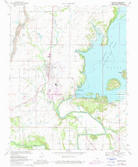
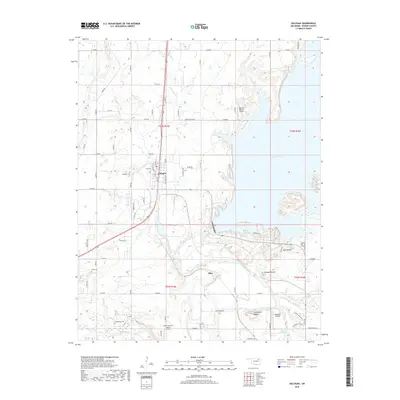
Oologah serves as the focal point of this Rogers County landscape, where the waters of the Verdigris River are impounded to form the expansive Oologah Lake. The topography is defined by several prominent elevations, most notably Claremore Mound, Lipe Mound, and Brushy Mound, which rise above the surrounding river valley and residential developments like Edgewater Acres and the smaller settlement of Elba. This area is a patchwork of rural infrastructure and water management, with local aviation represented by the Dog Iron Ranch Airport and Sageeyah Airfield.
Find a feature on this map
67 named features on this map. Tap any name to fly to it.
Don’t see what you’re looking for? This feature index may not catch every label — zoom into the map to look around manually.
Map Details
Editions of this 2022 Oologah Map
This is the sole edition of this map. No revisions or reprints were ever made.
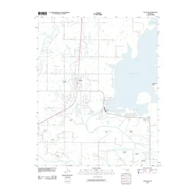
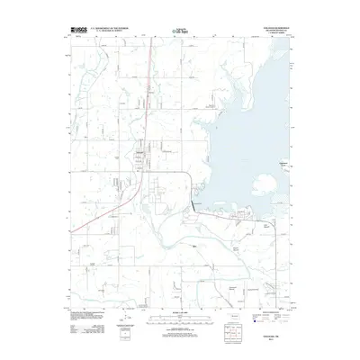
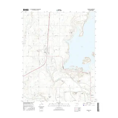
Historical Maps of Oologah Through Time
6 maps found