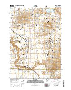
2014 Map of Opal City
USGS Topo · Published 2014About this map
Opal City and the surrounding high desert plateau are the primary focus of this modern topographic study, showing a landscape defined by volcanic landforms and managed public lands. The Crooked River National Grassland dominates the central and eastern portions of the map, illustrating how the high desert is carved by deep drainages like Osborne Canyon and Sherwood Canyon. Notable volcanic features including Juniper Butte, Haystack Butte, and Coyote Butte rise above the basin, serving as prominent landmarks for those navigating the arid terrain.
Find a feature on this map
56 named features on this map. Tap any name to fly to it.
Don’t see what you’re looking for? This feature index may not catch every label — zoom into the map to look around manually.
Map Details
Editions of this 2014 Opal City Map
This is the sole edition of this map. No revisions or reprints were ever made.
Other maps of this area
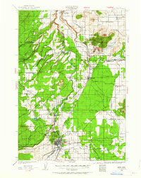
1926 · Bend
USGS Topo · 1:125,000
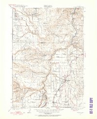
1928 · Madras
USGS Topo · 1:125,000
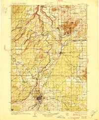
1929 · Bend
USGS Topo · 1:125,000
1931 · Madras
USGS Topo · 1:125,000
1955 · Bend
USGS Topo · 1:250,000
1957 · Bend
USGS Topo · 1:250,000
1958 · Bend
USGS Topo · 1:250,000
1961 · Redmond
USGS Topo · 1:24,000
1962 · Opal City
USGS Topo · 1:24,000
1962 · Oneil
USGS Topo · 1:24,000