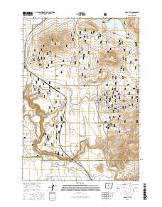
2017 Map of Opal City
USGS Topo · Published 2017About this map
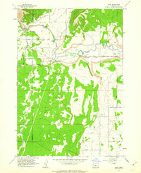
Opal City serves as the central focal point of this Jefferson County landscape, situated where the high desert meets an extensive network of irrigation and recreational infrastructure. The map documents a complex balance between agriculture and public land management, with the expansive Crooked River National Grassland dominating the eastern and central sections. To the north, the Haystack Reservoir stands as a vital water resource, while the southwestern corner is defined by the sharp descent into the Crooked River Gorge and Osborne Canyon. The terrain is punctuated by distinctive volcanic features such as Juniper Butte, Haystack Butte, and Coyote Butte. A dense web of off-highway vehicle trails, including Ohv # 16 and the Ridge Rider - Cole Loop, crisscrosses the grasslands, reflecting the area's contemporary use for motorized recreation alongside traditional ranching at sites like Osborne Spring.
Find a feature on this map
71 named features on this map. Tap any name to fly to it.
Don’t see what you’re looking for? This feature index may not catch every label — zoom into the map to look around manually.
Map Details
Editions of this 2017 Opal City Map
This is the sole edition of this map. No revisions or reprints were ever made.
Other maps of this area
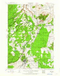
1926 · Bend
USGS Topo · 1:125,000
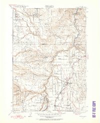
1928 · Madras
USGS Topo · 1:125,000
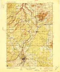
1929 · Bend
USGS Topo · 1:125,000
1931 · Madras
USGS Topo · 1:125,000

1955 · Bend
USGS Topo · 1:250,000

1957 · Bend
USGS Topo · 1:250,000
1958 · Bend
USGS Topo · 1:250,000
1961 · Redmond
USGS Topo · 1:24,000
1962 · Opal City
USGS Topo · 1:24,000
1962 · Oneil
USGS Topo · 1:24,000