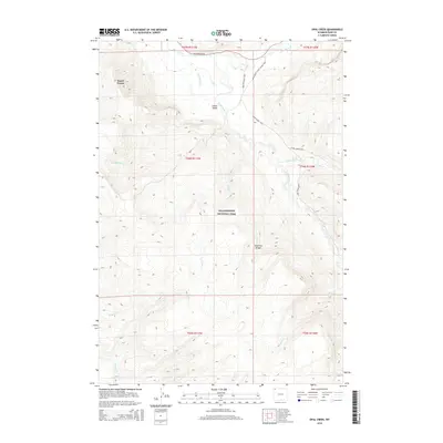
2015 Map of Opal Creek
USGS Topo · Published 2015About this map
Yellowstone National Park encompasses this entire high-altitude landscape, dominated by the Absaroka Range and the broad sweep of the Lamar Valley. The region is defined by its complex drainage network, where the Lamar River meets tributaries such as Soda Butte Cr, Opal Cr, and Chalcedony Cr. The presence of the Fossil Forest indicates the area's significant geological heritage, preserved within the park's boundaries.
Find a feature on this map
24 named features on this map. Tap any name to fly to it.
Don’t see what you’re looking for? This feature index may not catch every label — zoom into the map to look around manually.
Map Details
Editions of this 2015 Opal Creek Map
This is the sole edition of this map. No revisions or reprints were ever made.
Other maps of this area

1886 · Canyon
USGS Topo · 1:125,000

1895 · Canyon
USGS Topo · 1:125,000

1896 · Canyon
USGS Topo · 1:125,000

1901 · Canyon
USGS Topo · 1:125,000

1907 · Canyon
USGS Topo · 1:125,000

1911 · Canyon
USGS Topo · 1:125,000

1955 · Ashton
USGS Topo · 1:250,000

1958 · Ashton
USGS Topo · 1:250,000
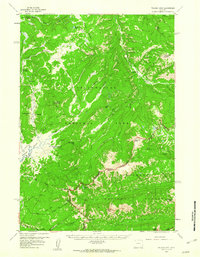
1959 · Pelican Cone
USGS Topo · 1:62,500
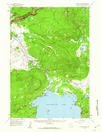
1959 · Canyon Village
USGS Topo · 1:62,500