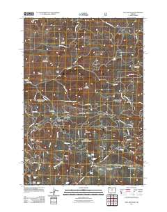
2011 Map of Opal Mountain
USGS Topo · Published 2011About this map
Opal Mountain and the surrounding high country of the Ochoco National Forest define this part of Jefferson County. The landscape is marked by a network of seasonal camps and administrative points, including the Symons Wood Camp and the Trout Creek Cow Camp. Settlement patterns are largely transitory, linked to timber and grazing as evidenced by the Roundup Grounds near Telfer Butte and various shelter structures such as Divide Cabin and Trail Cabin.
Find a feature on this map
58 named features on this map. Tap any name to fly to it.
Don’t see what you’re looking for? This feature index may not catch every label — zoom into the map to look around manually.
Map Details
Editions of this 2011 Opal Mountain Map
This is the sole edition of this map. No revisions or reprints were ever made.
Other maps of this area

1926 · Mitchell
USGS Topo · 1:125,000

1948 · Ochoco Reservoir
USGS Topo · 1:62,500

1950 · Ochoco Reservoir
USGS Topo · 1:62,500

1951 · Lookout Mtn
USGS Topo · 1:62,500

1955 · Bend
USGS Topo · 1:250,000

1957 · Bend
USGS Topo · 1:250,000

1958 · Bend
USGS Topo · 1:250,000

1968 · Horse Heaven Creek
USGS Topo · 1:24,000

1968 · Axehandle Butte
USGS Topo · 1:24,000

1968 · Dutchman Creek
USGS Topo · 1:24,000