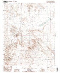
1988 Map of Opal Mountain
USGS Topo · Published 1988About this map
Opal Mountain dominates this arid high-desert landscape in the heart of San Bernardino County, where 1980s topographical surveys recorded a terrain shaped by geologic depressions and seasonal water sources. The expansive Superior Valley (Depression) spreads across the northern reaches, while the southern terrain is defined by the steep grades of Black Mountain. This area is characterized by its remote character and early mining interest, evidenced by numerous Prospects scattered throughout the hills. Evidence of desert adaptation and navigation is found in the labeling of a Slocum Well (Dry) and a Guzzler, alongside seasonal features like a Spring. Deep cuts through the volcanic and sedimentary layers are visible in Inscription Canyon and Black Canyon, which served as natural corridors through the varied elevations of this desert interior.
Find a feature on this map
13 named features on this map. Tap any name to fly to it.
Don’t see what you’re looking for? This feature index may not catch every label — zoom into the map to look around manually.
Map Details
Editions of this 1988 Opal Mountain Map
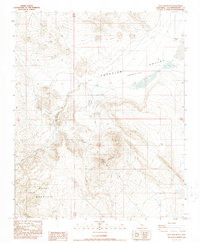
2 editions found
Other maps of this area

1915 · Searles Lake
USGS Topo · 1:250,000

1947 · Trona
USGS Topo · 1:250,000

1948 · Trona
USGS Topo · 1:250,000

1953 · Trona
USGS Topo · 1:250,000

1954 · Pilot Knob
USGS Topo · 1:62,500

1954 · Cuddeback Lake
USGS Topo · 1:62,500

1955 · Opal Mountain
USGS Topo · 1:62,500

1956 · Fremont Peak
USGS Topo · 1:62,500

1957 · Trona
USGS Topo · 1:250,000

1960 · Trona
USGS Topo · 1:250,000