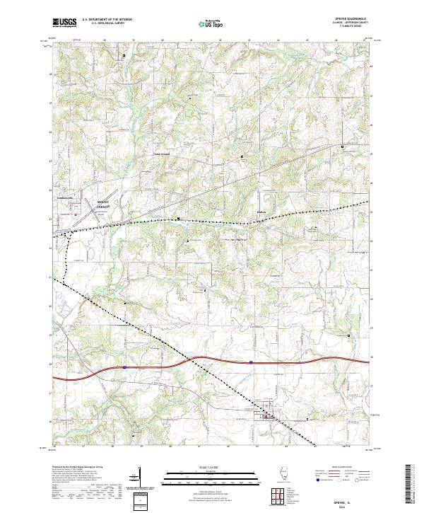
2024 Map of Opdyke
USGS Topo · Published 2024About this map
The unincorporated community of Opdyke and the neighboring settlement of Marlow anchor this Jefferson County landscape, characterized by a transition from the edges of Mount Vernon into rural farmland. The geography is defined by a dense network of small waterways, including Sevenmile Creek, Twomile Creek, and Dodds Creek, which cut through the agricultural sections.
Find a feature on this map
121 named features on this map. Tap any name to fly to it.
Don’t see what you’re looking for? This feature index may not catch every label — zoom into the map to look around manually.
Map Details
Editions of this 2024 Opdyke Map
This is the sole edition of this map. No revisions or reprints were ever made.
Other maps of this area

1933 · Mount Vernon
USGS Topo · 1:48,000

1939 · Ina
USGS Topo · 1:62,500

1940 · Mount Vernon
USGS Topo · 1:62,500

1942 · McLeansboro
USGS Topo · 1:62,500

1943 · Ina
USGS Topo · 1:62,500

1945 · McLeansboro
USGS Topo · 1:62,500

1947 · Wayne City
USGS Topo · 1:62,500

1958 · Belleville
USGS Topo · 1:250,000

1962 · Belleville
USGS Topo · 1:250,000

1964 · Opdyke
USGS Topo · 1:24,000