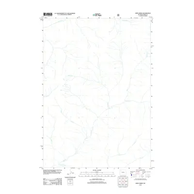
2012 Map of Open Creek
USGS Topo · Published 2012About this map
Open Creek serves as the primary drainage axis through this high-elevation wilderness in Park County, where the hydrological patterns of the Absaroka Range are captured in fine detail. The 2012 survey illustrates a landscape defined by sharp elevation changes and a dense network of alpine tributaries, including Siggins Fork and Howell Fork. The confluence of Thorofare Creek and Open Creek at the southern boundary highlights a region where remote watercourses dictate the shape of the land. Geographic points of interest such as Escarpment Creek and Silvertip Creek feed into the main valley, while Falls Creek suggests significant vertical relief. This map is a critical resource for understanding the pristine drainage basins of northwestern Wyoming before modern environmental shifts, documenting a terrain devoid of permanent structures or roads.
Find a feature on this map
11 named features on this map. Tap any name to fly to it.
Don’t see what you’re looking for? This feature index may not catch every label — zoom into the map to look around manually.
Map Details
Editions of this 2012 Open Creek Map
This is the sole edition of this map. No revisions or reprints were ever made.
Other maps of this area
1885 · Lake
USGS Topo · 1:125,000
1893 · Ishawooa
USGS Topo · 1:125,000
1895 · Ishawooa
USGS Topo · 1:125,000
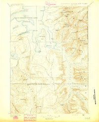
1895 · Lake
USGS Topo · 1:125,000
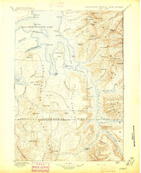
1896 · Lake
USGS Topo · 1:125,000
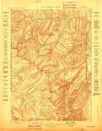
1899 · Ishawooa
USGS Topo · 1:125,000
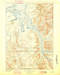
1901 · Lake
USGS Topo · 1:125,000
1906 · Lake
USGS Topo · 1:125,000
1911 · Lake
USGS Topo · 1:125,000

1955 · Ashton
USGS Topo · 1:250,000