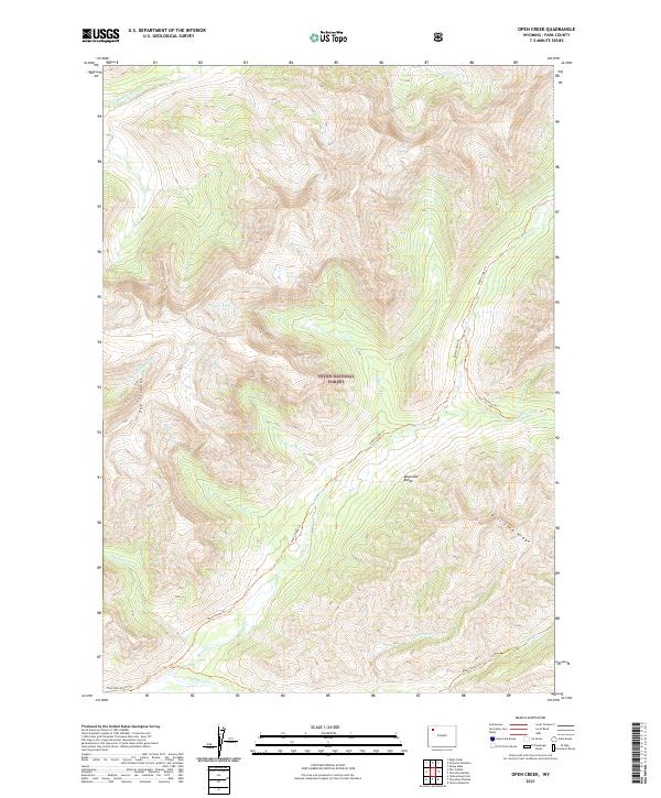
2021 Map of Open Creek
USGS Topo · Published 2021About this map
Teton National Forest encompasses the high-altitude wilderness of the Absaroka Range in this modern survey of the Wyoming backcountry. The landscape is defined by its complex drainage network, where the Howell Fork and Siggins Fork feed into larger water systems. A distinctive geological formation known as The Trident rises to the west, balanced by the elevation of Petrified Ridge to the southeast. Remote trails provide the only human-scale access to these peaks, with the Open Creek Trl and Silvertip Trl following the natural contours of the valley floors. These routes, along with the Thorofare River Trl at the southern edge, reflect a wilderness preserved for transit and conservation rather than permanent settlement. The topographical data reveals the sharp vertical relief of Escarpment Cr and the drainage patterns of Falls Cr and Scatter Cr.
Find a feature on this map
23 named features on this map. Tap any name to fly to it.
Don’t see what you’re looking for? This feature index may not catch every label — zoom into the map to look around manually.
Map Details
Editions of this 2021 Open Creek Map
This is the sole edition of this map. No revisions or reprints were ever made.
Other maps of this area

1885 · Lake
USGS Topo · 1:125,000

1893 · Ishawooa
USGS Topo · 1:125,000

1895 · Ishawooa
USGS Topo · 1:125,000

1895 · Lake
USGS Topo · 1:125,000

1896 · Lake
USGS Topo · 1:125,000

1899 · Ishawooa
USGS Topo · 1:125,000

1901 · Lake
USGS Topo · 1:125,000

1906 · Lake
USGS Topo · 1:125,000

1911 · Lake
USGS Topo · 1:125,000

1955 · Ashton
USGS Topo · 1:250,000